The very awesome El Museo Tumbas Reales del Señor de Sipán in Lambayeque, Peru. [No photos allowed inside the museum.]

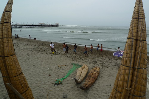
Reed boats, fútbol, and fishing pier at Huanchaco Beach, just north of Trujillo.
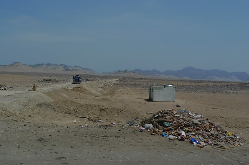
Trash dump somewhere on the Pan-American Highway between Chiclayo and Trujillo. The truck is on a side road, not the Pan-American.
Irrigated fields.
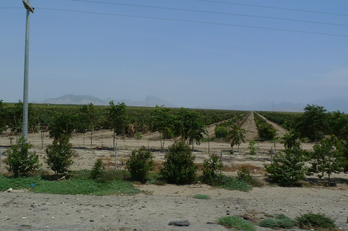
Heading South on the Pan-American Highway with some irrigated fields in the distance.

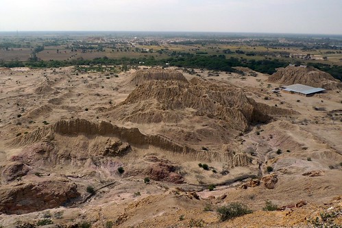
The pre-Inca ruins at Tucume, Peru. All those rain-furrowed hills are pyramids.
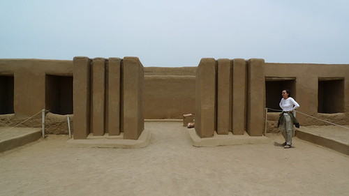
Ruins of Chan Chan. Near Trujillo. Art Deco?
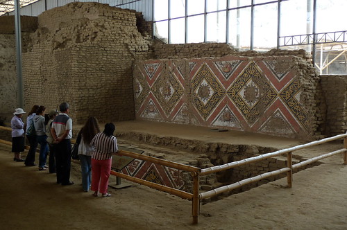
Huaca de la Luna (Temple of the Moon) outside Trujillo.
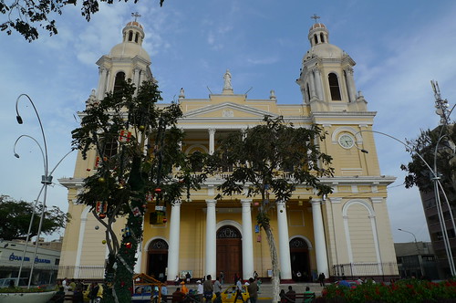
Cathedral - Plaza de Armas - Chiclayo
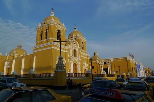
Cathedral - Plaza de Armas - Trujillo
Viewing your GM, other than the GI, this is your first travel on the Pacific Coast. Is coastal Peru quite different from the mountains and volcanos? Is that road next to the trash dump really the Pan-American Highway? Seems primative.
ReplyDeleteEd, Good question. That's a side road at 90 degrees to the Pan-American. I updated the caption to clarify and added another photo that looks straight down the PAH.
ReplyDeleteGlad I was of some use. New photo of PAH still looks spartan compared to what we think of here, the six lane divided Interstate with its unbroken commercialism.
ReplyDelete@Ed,I am with you. 80% of our distances south have been covered on the Panamerican. It's always 2 lanes, a far cry from I95. I guess it's a reflection of development or lack of. All the asparagus must be going on ships not the Panamerican.
ReplyDeleteEd,
ReplyDeleteUPDATE: the Panamerican directly NORTH of Lima is a 4-laner for about 150 kms. SOUTH of Lima it´s back to 2 lanes.