The weather was perfect, the campsite great, the sunrises awesome, and the hiking fabulous.
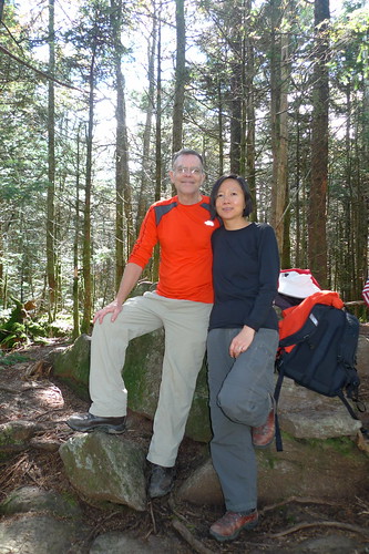
Here's a photo of us at the top of Mt Rogers, the highest point in Virginia, and claims to be "highest state highpoint east of South Dakota that doesn't have a road leading to its summit". How about that? ;-)

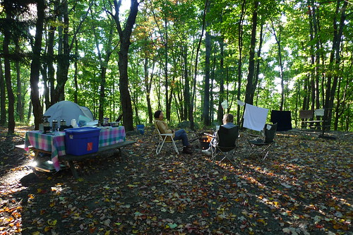
Morning coffee at our campsite (joined by our friend Dayle).

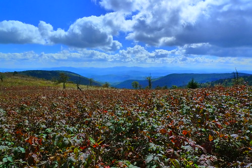
There's no view from the top of Mt Rogers but here's the view from the nearby Appalachian Trail.

The rest of the photos are here.
Help me here, John. Why the street scene cover photo for Flickr? What's to do with GHSP?
ReplyDelete