Aside from Taipei, Taroko Gorge is at the top of any Taiwan itinerary. Being a fan of any gorge, I couldn't stay away. This time we based ourselves outside the park, in the village of Xincheng, walking distance to the train station. We liked this setup better than basing ourselves deep in the park as we did before.
Again, many of the trails are closed, and we couldn't get a reservation for the Zhuilu trail, which was only open for the first 3.1km. We had rain half of the days. In the end we walked three trails in the park, all out and back.
We stayed at Susispace Homestay in Xincheng which was equipped with a kitchen for Sun-Ling and and a Gifner (Hofner clone I think) guitar for me!


From Susispace, it's just a 5 minute walk to the Pacific Ocean.
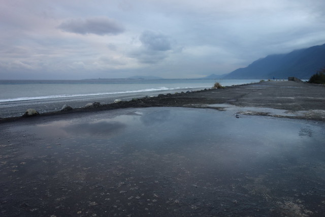
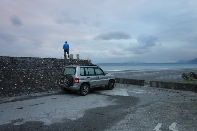

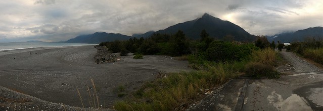
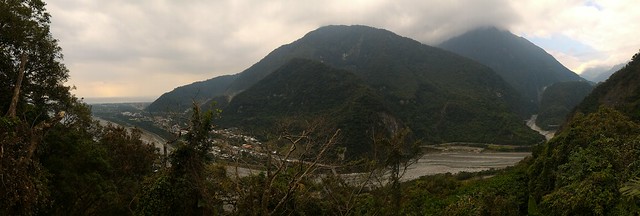
From the "beach" you can see the mountains and Taroko Gorge itself.

Hiking the Shakadang Trail.
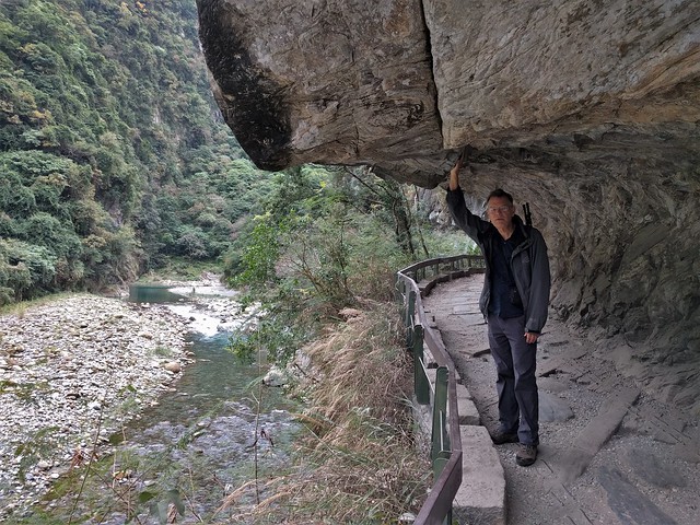
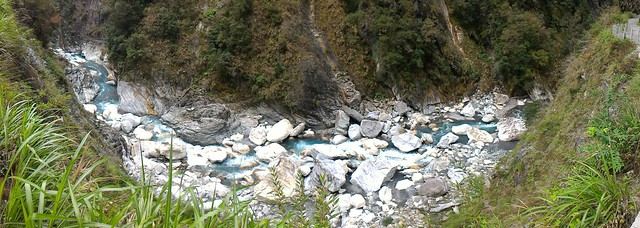
Beautiful blue water, and big rocks.


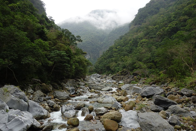
View of the start of the Shakadang Trail.
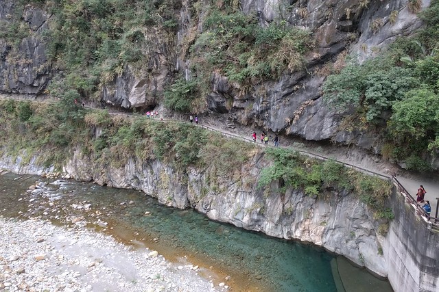
We then rode bus #302 up towards the top of the gorge with tunnels and bridges and hairpin turns to liven up the ride..
Link here.


The Baiyang Trail, closed when we were here in 2012, starts with a long tunnel.
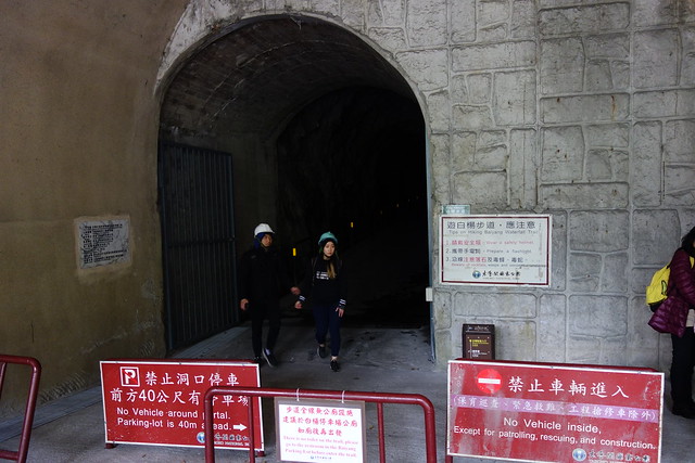
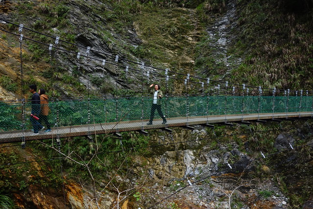
Then it's a gradual uphill through 4 more tunnels to the confluence of 2 or more waterfalls, not to mention the suspension bridge.
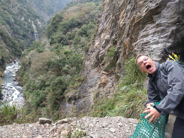





Link here.
Beyond the falls, the trail ends at a tunnel that struck a hot spring during drilling. You can take your shoes off and walk up the tunnel to a "curtain of water". We did not go in although the experience was very popular with other visitors.


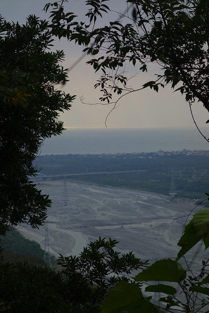
Another day we rode the bus up to the Visitor Center and walked up the Dali-Datong trail and back.The first part of the trail was a serious set of stairs with occasional views up the gorges or out to the Pacific or both.

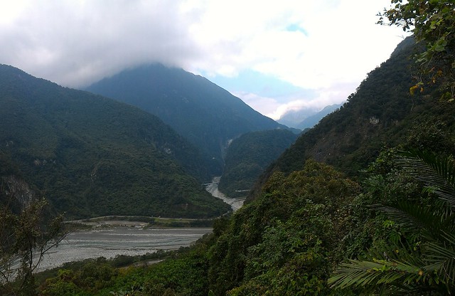
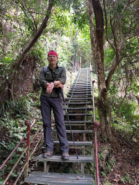
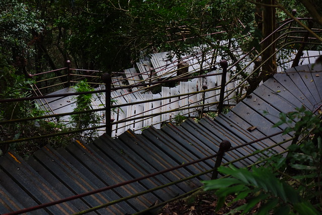
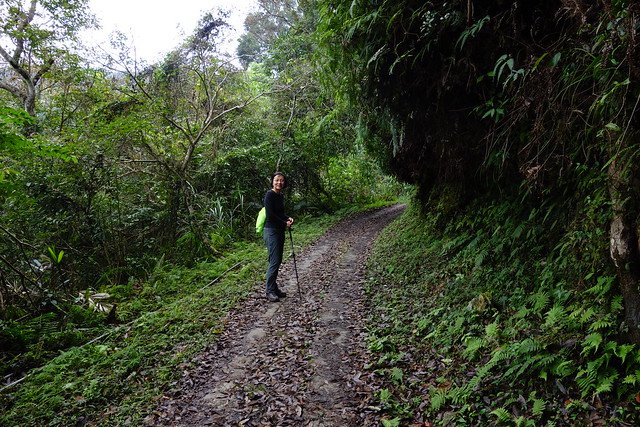
Then a nasty, long, hillclimb up to a wonderful former logging road, now a hiking path, with views up Shakadang Gorge
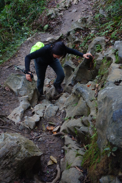
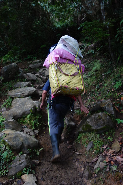
Locals who live in Dali Village march right up carrying big baskets on their backs.

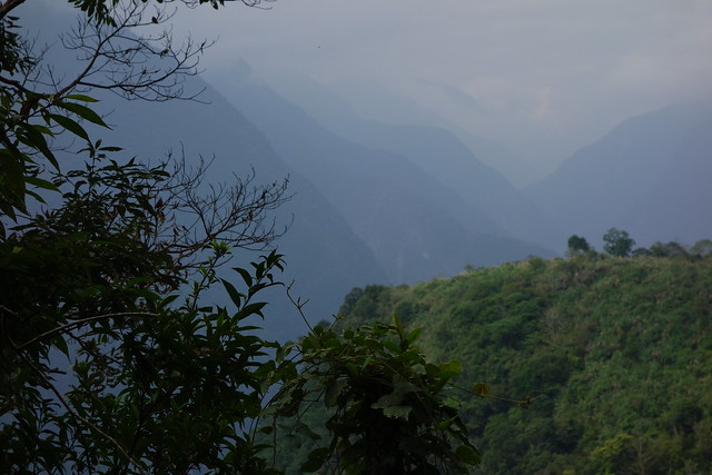
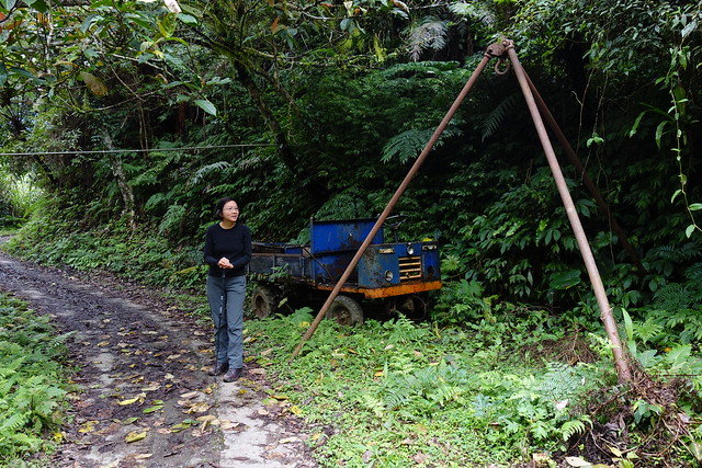
A few buildings in Dali Village are barely visible at lower left.

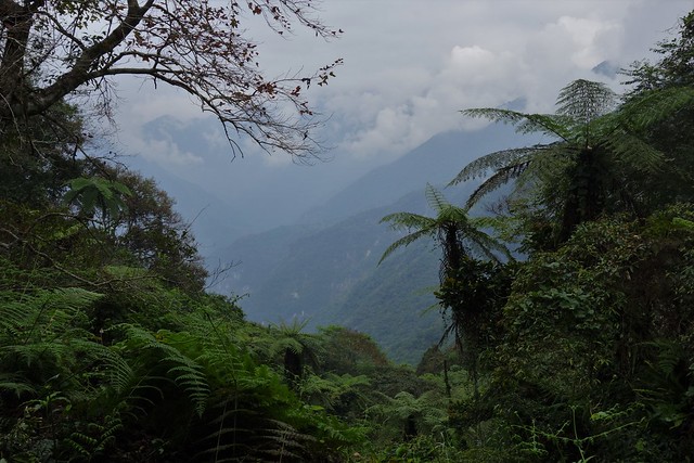
Looking up to a Giant Fern Tree.

Nearly up at 1000 m.a.s.l.; it's easy walking.
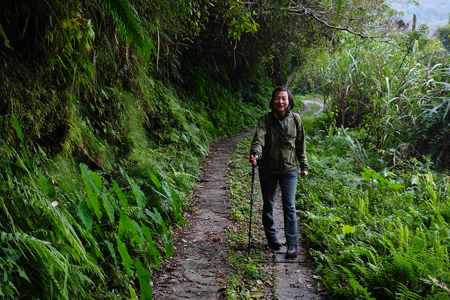


Sun-Ling gets more "ropes" experience on the way down.

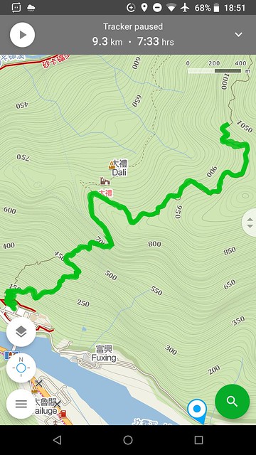
The GPS track for the Dali-Datong walk. If you're keeping score at home, the "stairs" section starts at the 100 meter contour line and end at the 380 contour line. The "nasty" trail then goes up to the 800 meter line. And the rest is the former logging trail.
Again, many of the trails are closed, and we couldn't get a reservation for the Zhuilu trail, which was only open for the first 3.1km. We had rain half of the days. In the end we walked three trails in the park, all out and back.
- Shakadang: going into to a tributary
- Baiyang: another side gorge
- Dali-Datong: going up a mountain
We'll have to come back and walk more trails, maybe a different season.
We stayed at Susispace Homestay in Xincheng which was equipped with a kitchen for Sun-Ling and and a Gifner (Hofner clone I think) guitar for me!


From Susispace, it's just a 5 minute walk to the Pacific Ocean.


From the "beach" you can see the mountains and Taroko Gorge itself.

Hiking the Shakadang Trail.

Beautiful blue water, and big rocks.


View of the start of the Shakadang Trail.

We then rode bus #302 up towards the top of the gorge with tunnels and bridges and hairpin turns to liven up the ride..
Link here.


The Baiyang Trail, closed when we were here in 2012, starts with a long tunnel.

Then it's a gradual uphill through 4 more tunnels to the confluence of 2 or more waterfalls, not to mention the suspension bridge.


Link here.
Beyond the falls, the trail ends at a tunnel that struck a hot spring during drilling. You can take your shoes off and walk up the tunnel to a "curtain of water". We did not go in although the experience was very popular with other visitors.


Another day we rode the bus up to the Visitor Center and walked up the Dali-Datong trail and back.The first part of the trail was a serious set of stairs with occasional views up the gorges or out to the Pacific or both.


Then a nasty, long, hillclimb up to a wonderful former logging road, now a hiking path, with views up Shakadang Gorge

Locals who live in Dali Village march right up carrying big baskets on their backs.


A few buildings in Dali Village are barely visible at lower left.

Looking up to a Giant Fern Tree.

Nearly up at 1000 m.a.s.l.; it's easy walking.


Sun-Ling gets more "ropes" experience on the way down.

The GPS track for the Dali-Datong walk. If you're keeping score at home, the "stairs" section starts at the 100 meter contour line and end at the 380 contour line. The "nasty" trail then goes up to the 800 meter line. And the rest is the former logging trail.

Good to hear from you. I was beginning to wonder it you were OK. Also good to see Taroko again!
ReplyDeleteI watched all the videos in this post. Very entertaining. I also discovered that I can zoom a non-video photo. S-L become 2 feet tall on my screen. Great photo work, John.
ReplyDeleteThanks Crash!
ReplyDelete@Anonymous - Many visitors these days, but Taroko is always memorable.