Here is what we learned about Yuanzuishan:
- Bus 270 goes directly to Dongshi, no need to train to Fengyuan then bus to Dongshi as we did, if you have a reservation for Bus 252.
- Reservation for Bus 252 which runs only on weekends to Dashueshan is for 5 seats only. That is, 5 of the seats on the bus are held for QR code reservations, the rest of seats are sold by lottery one half hour before departure.
- As there is no official bus stop at trailhead KM27 - the nearest is KM15 - our driver didn't oblige, so we ended up hitchhiking both ways. So there was no advantage for the weekend only 252, 251 goes to KM15 all the same.
- Theoretically a permit is required. I didn't know before hand and no one was checking.
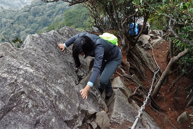
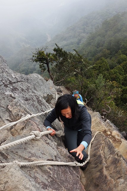
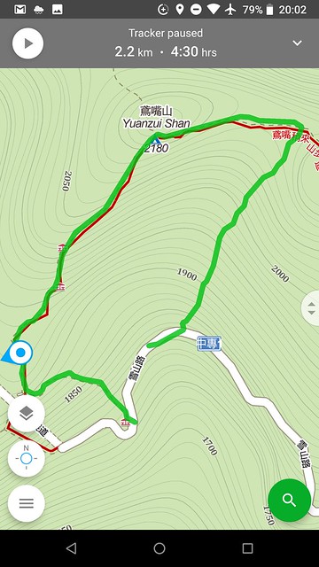
- The whole trail was only 2.2 km long and 360m up and down, but well over half of it was hugging rock faces while holding a rope. It was most exhilarating. Everyone was helping each other. I was only able to complete it with John's constant guidance. And I think the foggy day made it less scary.
- I want to do some training at home and try again. Maybe we'll stay up the mountain so we can walk other trails.
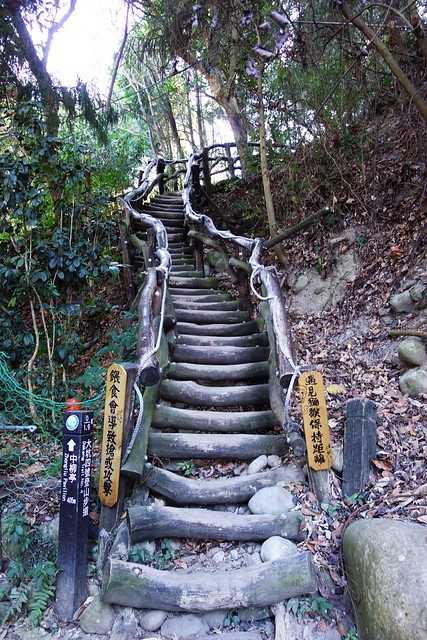
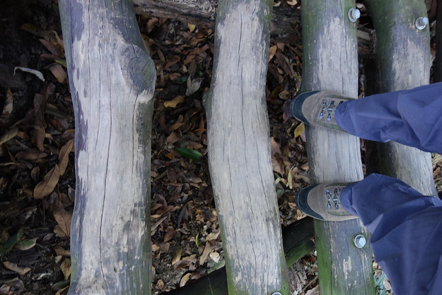
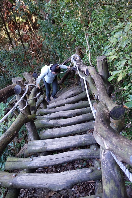
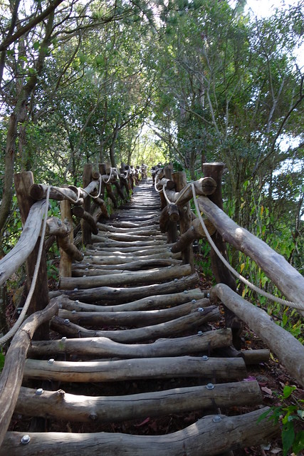
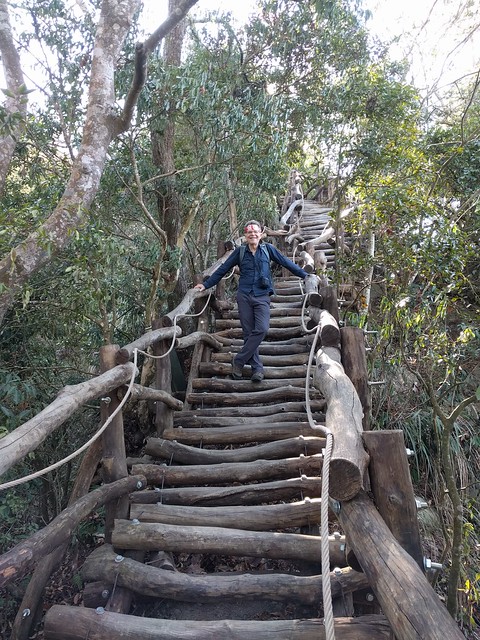
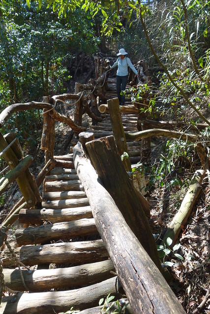
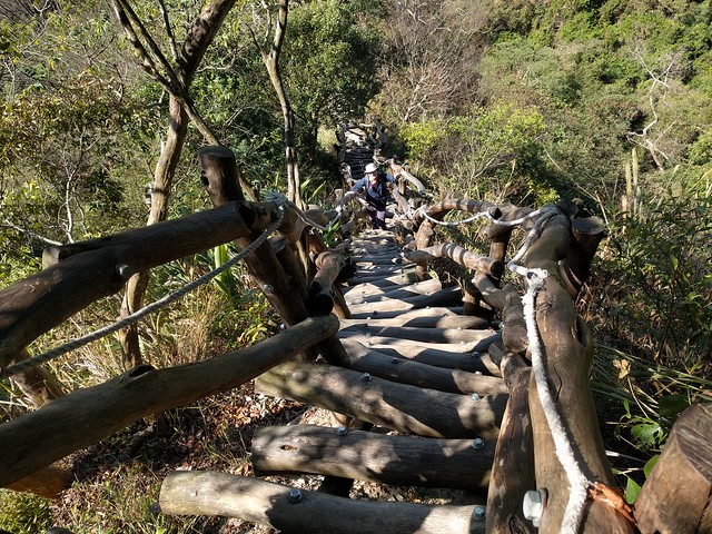
The next day we had a hike in Dakeng, Trail #4 to #5 to #2. It was equally unusual. This time, more than half of the trail was on giant wooden ladders, so we had a couple of kilometers of ladders, up, down, and flat, thankfully none scarily steep.
While I was very happy to have completed those two hikes, my legs were not!
The lower part of the Yuanzuishan hike is basically up a rockfall that is tangled with rhododendron roots.
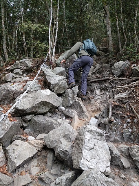
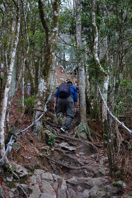
Then you "rock climb" your way up the rock faces using both hands, ropes, and the very occasionally iron rung.
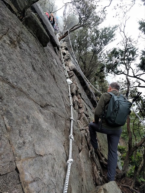
Here Sun-Ling works a crack.
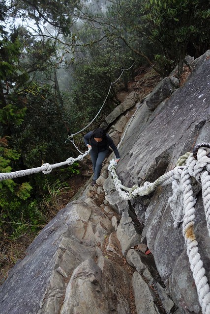
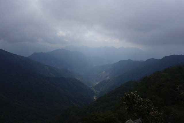
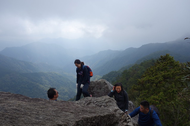
The average elevation of the hike is about 2000 meters (6500 ft) and the clouds were rolling in and out all day.
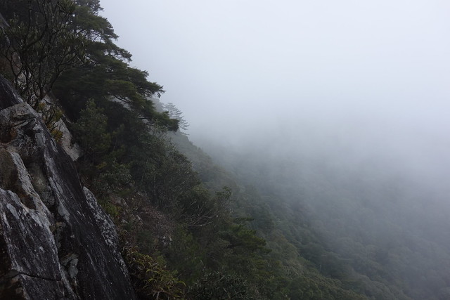
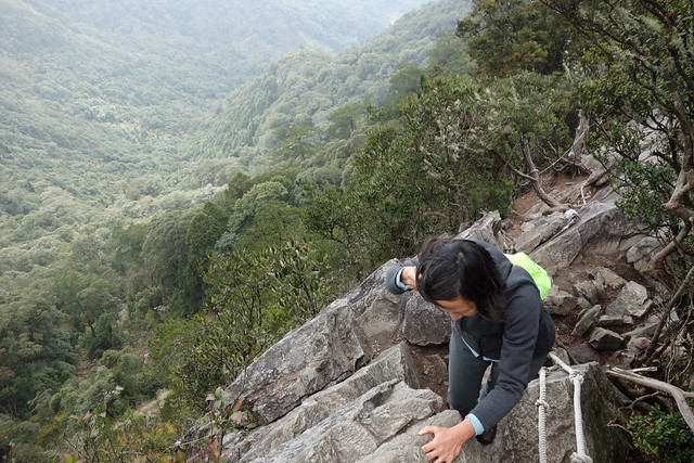
About 1/2 of the way up.
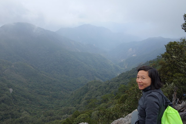
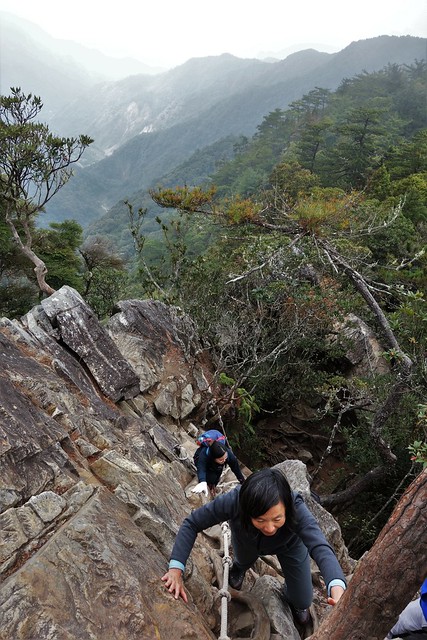
A good view to the East.
We climbed all the way up with these nice folks. They were definitely more athletic than us.
Sun-Ling shows some good form here. Impressive progress.
And at the top there was a party! With stoves, hot water, tea, beer (I think), and noodle soup.
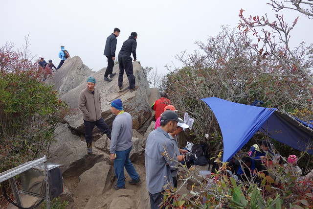
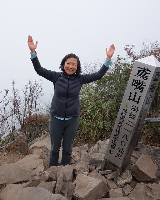
Woohoo!
The first part of the descent was very tricky; more rappelling experience.
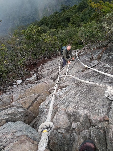
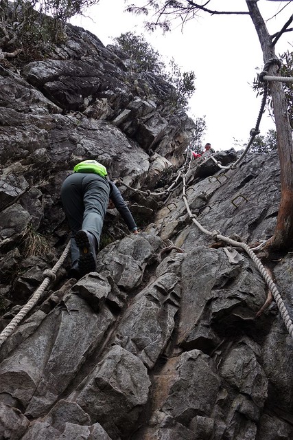
Looking back to others descending behind us.
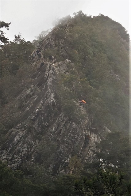
And the final part of the descent is down another huge rockfall.
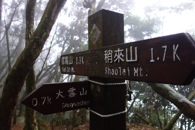
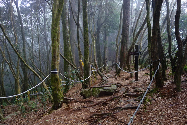
And we are done. Back on the road. Ready to hitch a ride down the mountain.
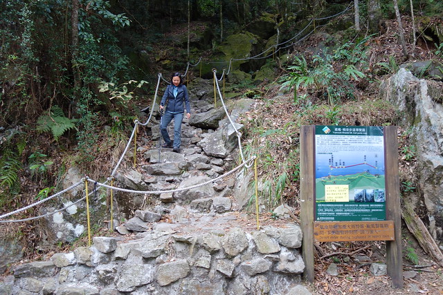
Some video.
Links here and here.
Our GPS track for Yuanzuishan.
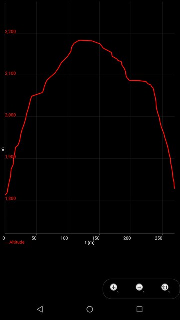
Our elevation (in meters) vs time (in minutes) for Yuanzuishan.
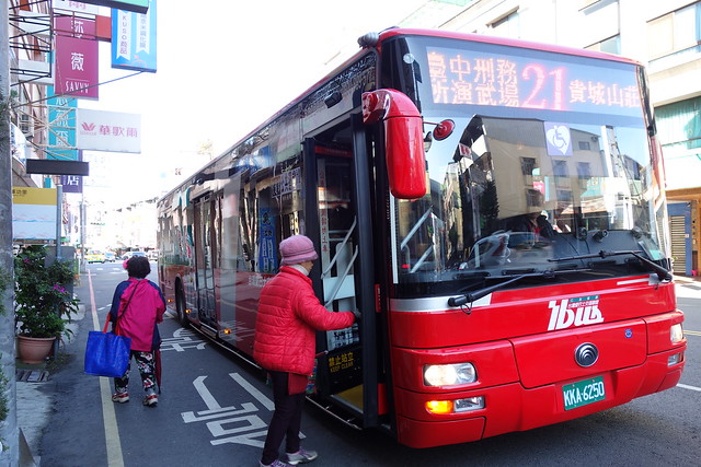
The Next Day it was an easy bus ride (with a transfer) to the trail head for the Dakeng trails.
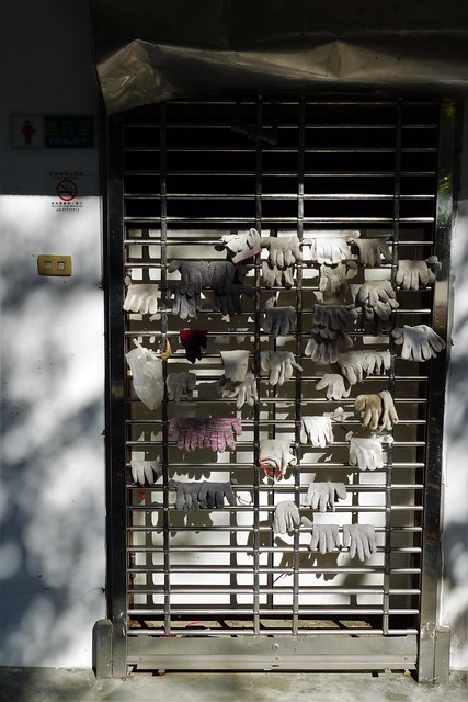
Locals say you need to wear gloves on the Dakeng trails so they kindly leave a selection of gloves on the side of a restroom for those who may need them. We brought gloves, given to us by locals the day before while hitching, but did not use them.
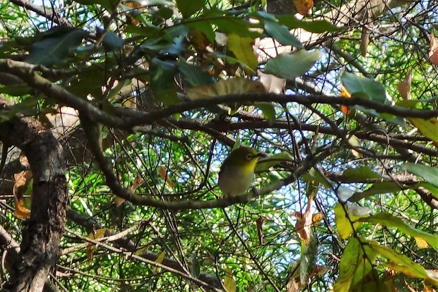
Many birds in the trees at the base of the hike.
The beginning of the trail. And it's "ladders" like this almost the whole way.
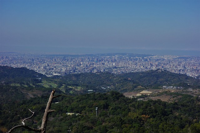
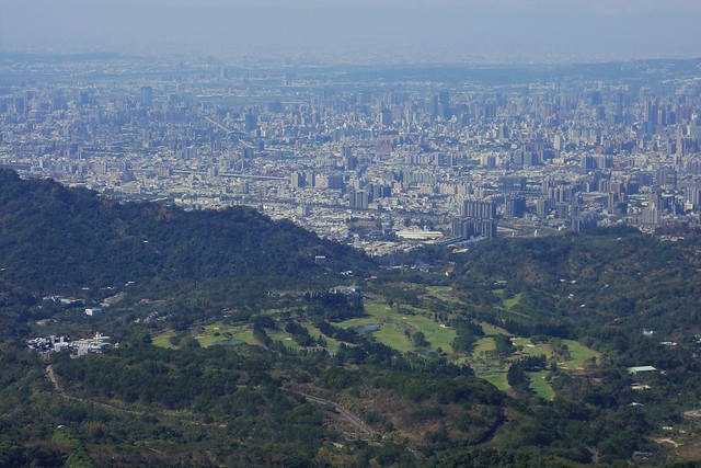
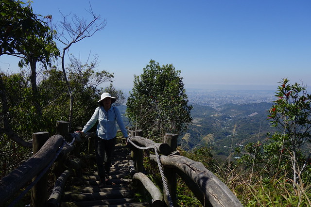
Many great views to Taichung to the west.
Lots of benches and pavilions; all with views of course.
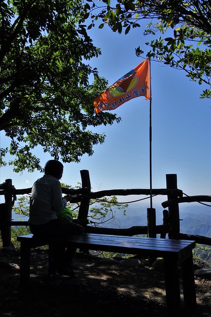
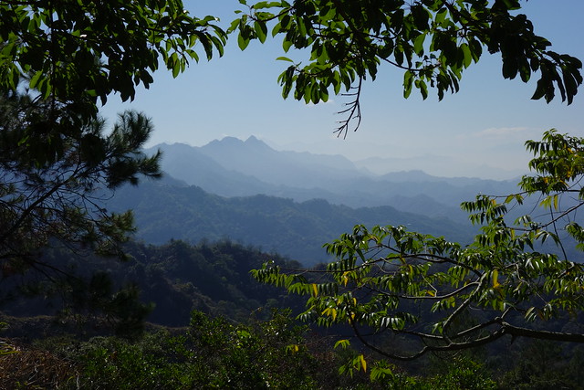
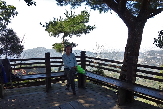
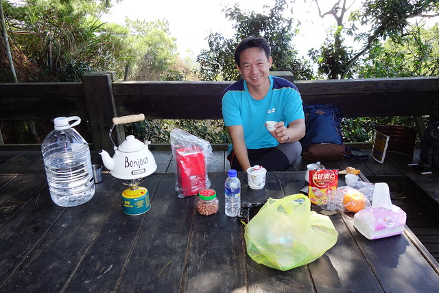
Locals like to carry a "full kitchen" up to the pavilions. This guy made me a great cup of coffee. Then admitted he stashes his stove and kettle nearby.
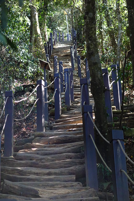
Descending on Dakeng No 2 is more of the same.
Video.
Link here.
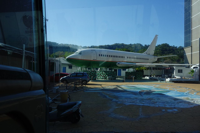
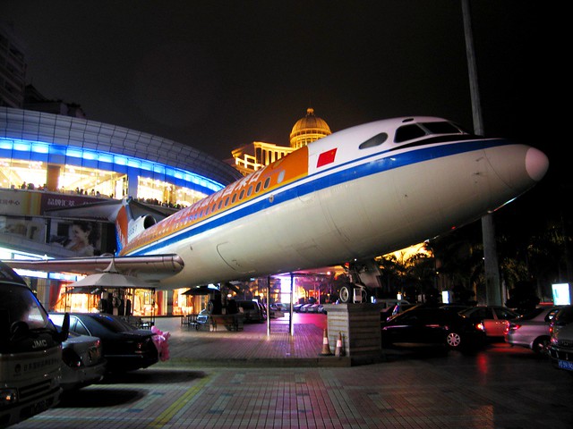
Bonus. We ride a different bus back and see an airplane in a parking lot. Could this be another Hawker Siddeley Trident like the one we saw in Zhuhai 12 years ago?!
Hawker Siddeley HS-121 Trident - Zhuhai, China - March, 2007.
Wow! What a climb on the rocks! Were you tethered some how or was it entirely free form?
ReplyDeleteThere was no tethering. I had lots of help. John and other hikers were constantly advising me where to put my hands and feet :(
ReplyDelete