When we finally reached the trailhead, slipperiness diminished, steepness multiplied. We didn't see anyone else on the same trail except for two men clearing the trail. One promised that I'd see the ocean from the top. I was very skeptical. At times the mist was so heavy, I was afraid of losing sight of John who was walking right in front of me. Much of the time we could not see back down to the valley.
After much laboring, we finally reached #1 viewing platform. With the wonder of a child who was born in the valley, having made the ascent for the first time, I beheld the sight of the Pacific. It was all worth it.
Having had a taste of the ocean, we decided to take the bus over the mountain to the coast. Even though it requires a bus transfer, we picked to head for Changbin, because 1) from our vantage point at the top of the mountain, the sea looked bluer than to the south, 2) Changbin Township government rents bicycles.
We caught bus #8181 at 8am from Yuli, arriving in Ningpu on the coast at 8:40, within 30 minutes, we caught one of several coastal routes heading north. All of Taiwan's public buses are tracked. There are DOT and private Apps that show approaching buses. The bus dropped us off right in front of Changbin township government. They have one size 7-speed bikes. We took two for half-day rentals and rode north until we had to turn around to catch a ~14:20 bus (8101 or 1145) south to Ningpu, wait for the #8181 that left Chengong at 14:40 en route to Yuli. A very doable day trip from Yuli!
Up early and on the bikes by 7:30. We take the Yufu Bike Way over to Rt 30 while savoring the views down the East Rift Valley.
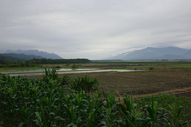
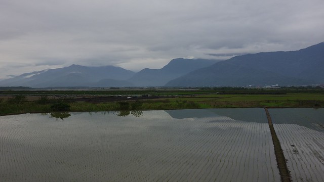
After 3kms on Rt 30 we take a left. It's still 4.7 kms, says the sign, to the Antong Traversing Trail trailhead parking. We pedal uphill for about 1.7kms before parking the bikes.
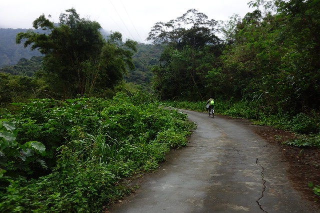
The so-called road up to the trail head is steep and slippery; however, walking through the betel palm plantation is a first.
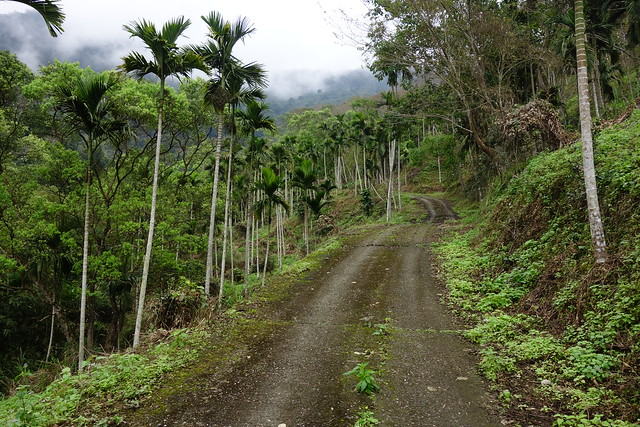
Very occasionally there is a view back towards Yuli.
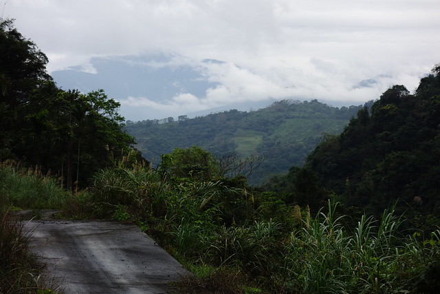
And we skirt a road slip.
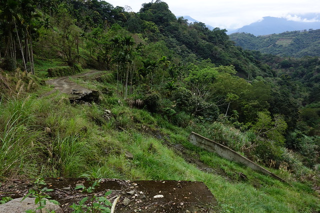
And then we see the betel nut harvesters below us (no pics) and their truck at our level.
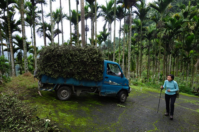
The road was so steep and slippery that I was slightly worried about heading back down.
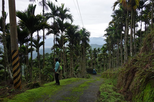
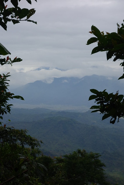
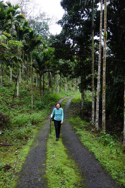
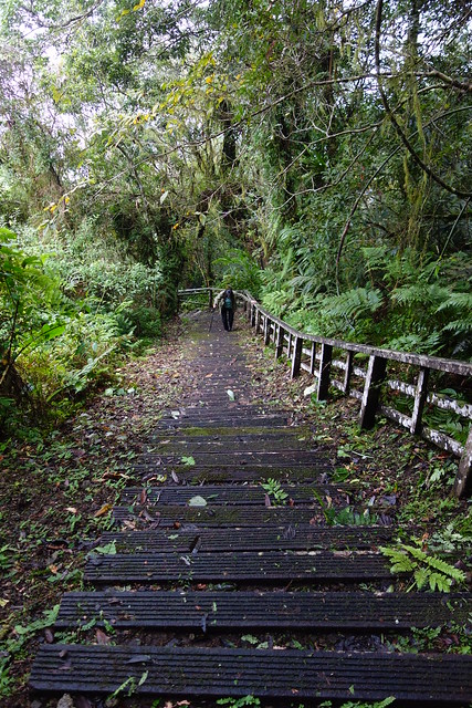
Finally we come to the actual Antong Traversing Trail. Lots of steps.
And as SL described earlier, a big WOOHOO when we come at last to #1 platform at +900 m.a.s.l. with a view down through the clouds to the ocean. Time for lunch!
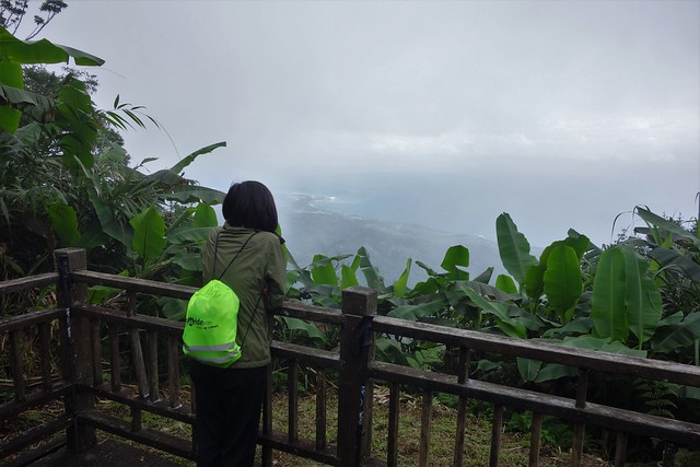
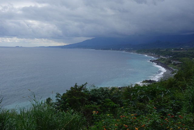
The headland below is Changbin. We'll daytrip there by bus tomorrow.
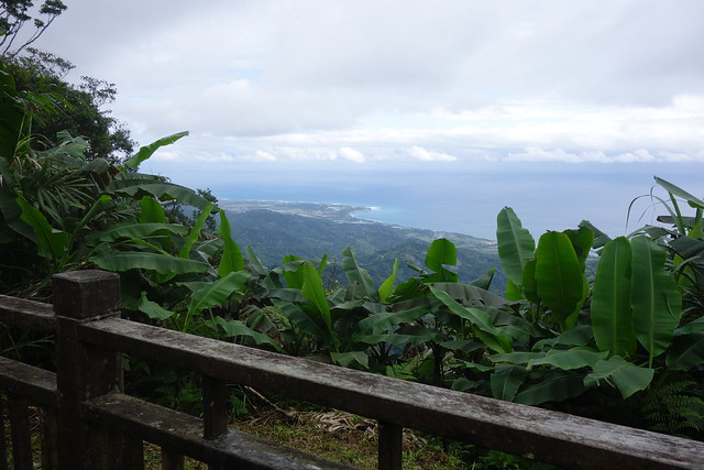
We walk in the clouds along the ridge for a while. Then head down.
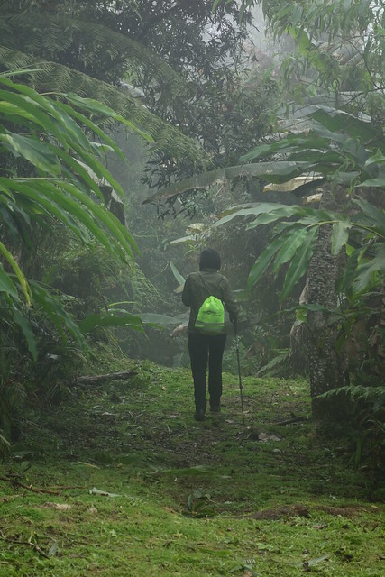
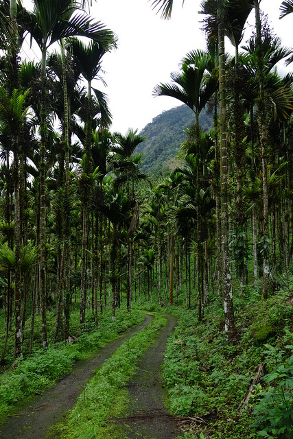
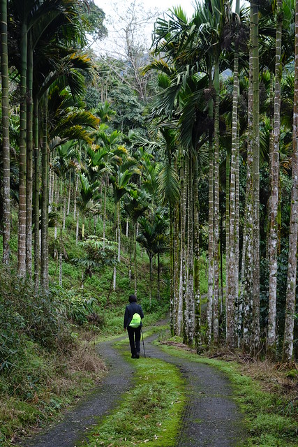
We made it down in one piece although I slipped and fell once, landing on my back pocket where I was carrying the key fob for our room. Ouch!
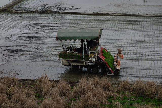
Cycling back to Yuli, the rice planting continues.
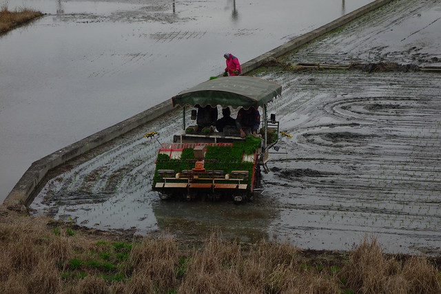
Yes, there are 3 people on the tractor. Usually we see just 2; one driving and one handling the rice seedlings.
Some video.
Link here.
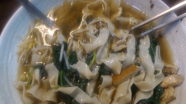
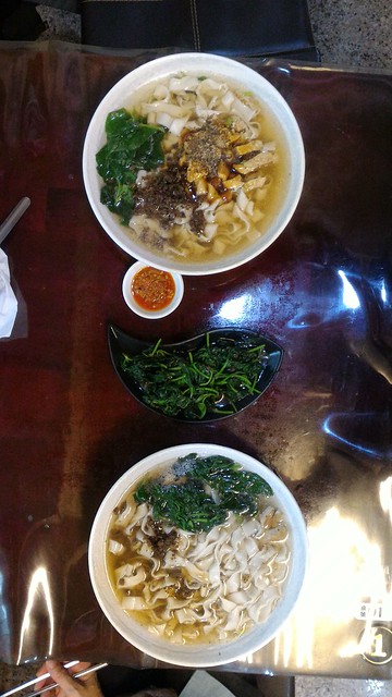
Day 4 wide noodle soup; perfected by the addition of more white pepper.
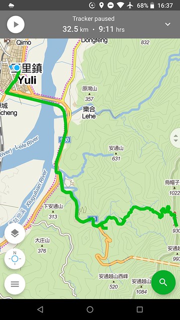
Here's the GPS route.
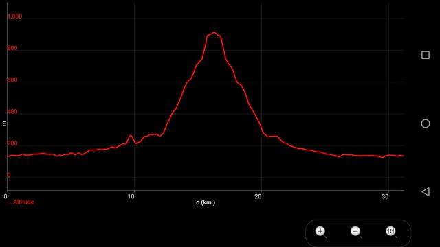
And the elevation profile: bike, walk, bike.
Day trip to Changbin.--------------------------
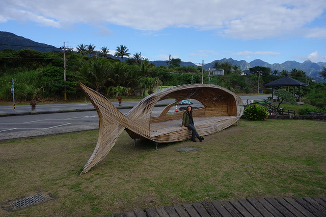
We catch the 8:05 am bus #8181 from Yuli andn head east on Rt 30, up and through a long tunnel and down to Ningpu. From there we walk north 500 meters or so along the ocean and catch a bus headed north at 9:00, stopping at the somewhat famous whale bench for a photo.
Black sand and pebble beaches here.
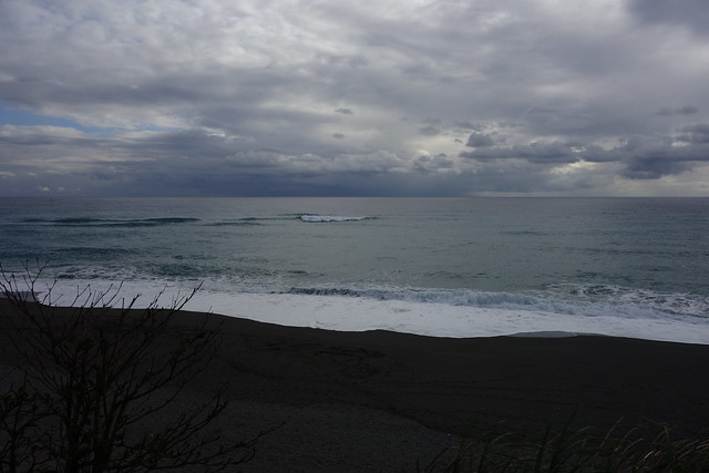
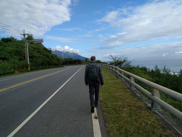
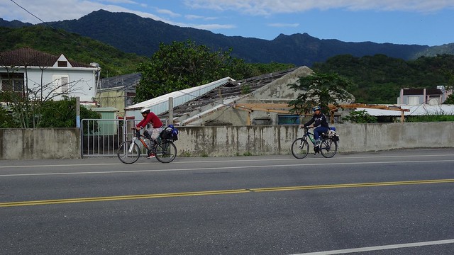
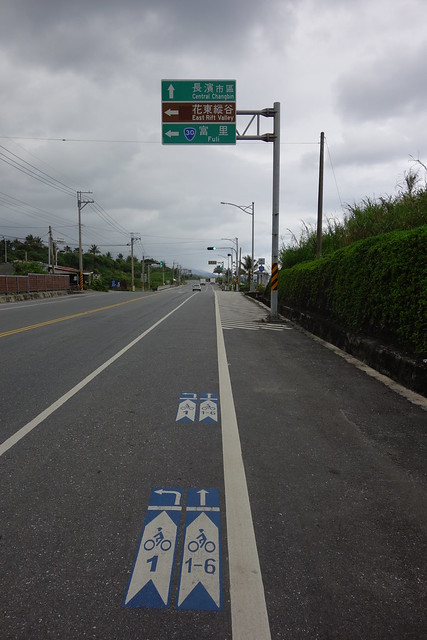
Two cyclists head south.
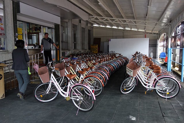
The Changbin Government Office Bike Rental. Friendly folks.
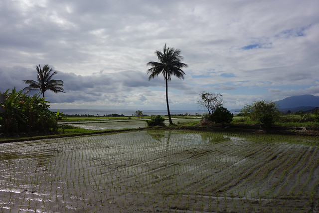
We first ride the local Changbin Circuit with views of rice terraces, mountains, and the ocean. Wow!
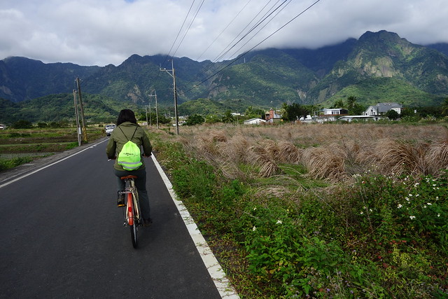
Then it's north up and down along the coastal beaches and headlands with a sparse mix of small towns, rice fields and various types of accommodations; and hardly anything that could be called a tourist attraction. Well, one thing. Stay tuned.
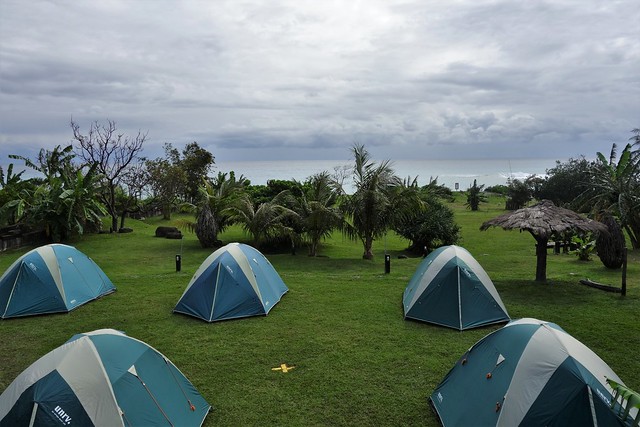
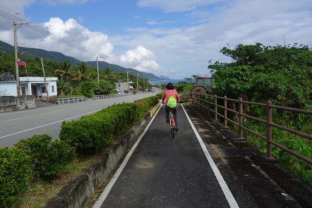
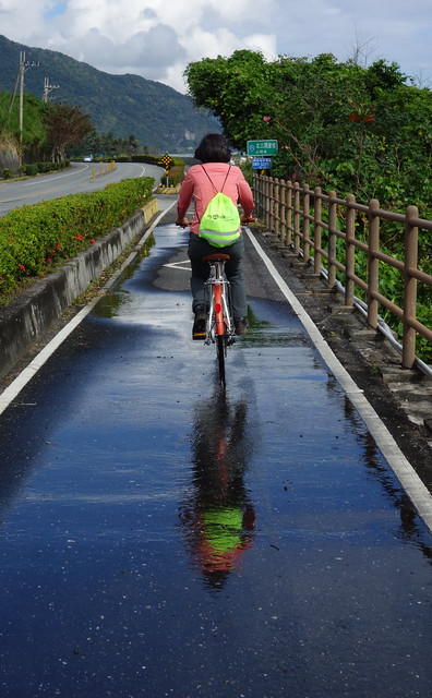
Take a break.

So there is this one monument, the white one on the left, that marks the Tropic of Cancer. Pretty cool if you are into geography...We ride up to the monument, have a short rest, and then head back south.
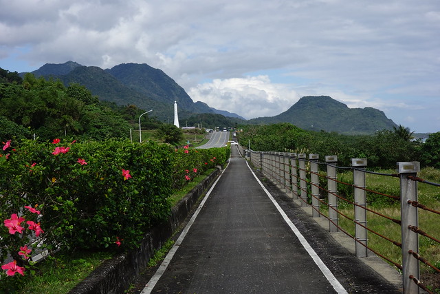
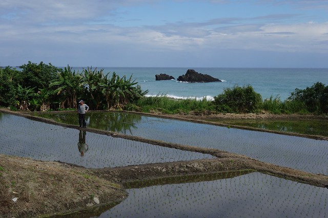
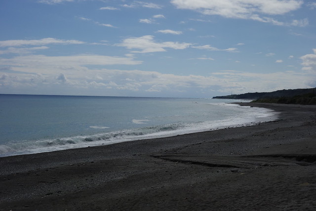
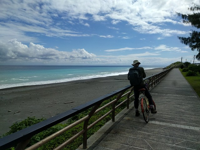
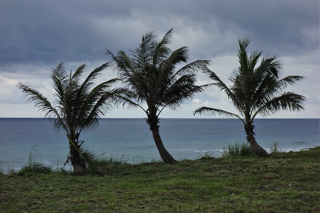
The most beautiful blue ocean ever!
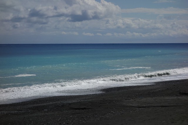
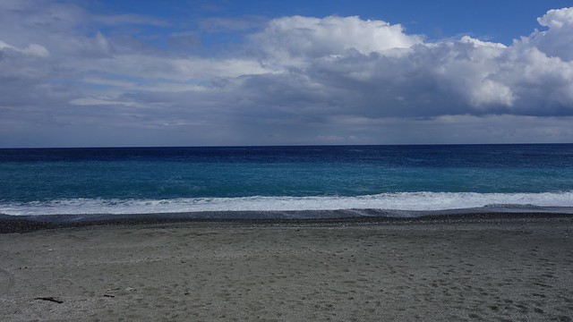
And a final view of the Pacific from the Changbin headland viewpoint.
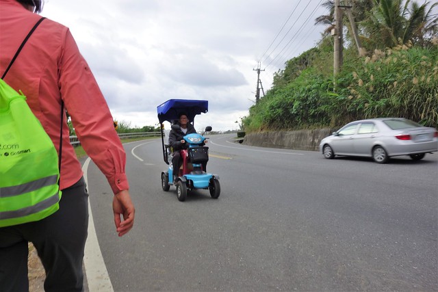
It's a common sight in this part of Taiwan to see old folks scooting around on their 4-wheelers. Even on the highway!
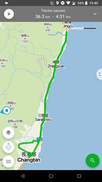
GPS route of the cycling.
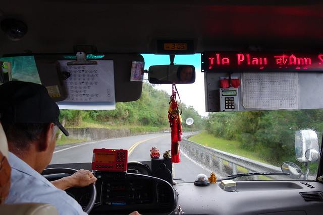
We catch the 15:03 bus #8181 from Ningpu back to Yuli. This is the view from the bus stop.
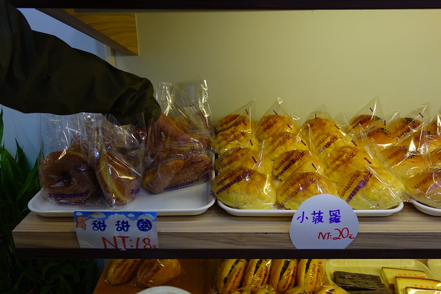
Grab tomorrow's breakfast.
And have those final two bowls of perfect vegetarian wide noodle soup with tofu, sprouts, greens, and white pepper.
You guys are so energetic! Pretty ocean. Cool that you saw the betel jarvesters.
ReplyDelete@ Kathy, The betel nut culture ie the flashing roadside signs, terrible teeth, red blots on the road at intersections, manufacturing workshops, is everywhere once you know where to look. The final piece is the betel nut palm plantation.
ReplyDelete