The Incan ruins at Ollantaytambo were built from from pink granite from the Cachiqata (or Cachiccata) Quaries located across Urubamba River, about 3.5 kms away by eye sight, but a hard 6kms away by land and river crossing.
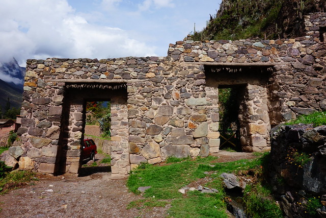
Gate.
PeruRail Train headed to Ollantaytambo Station.
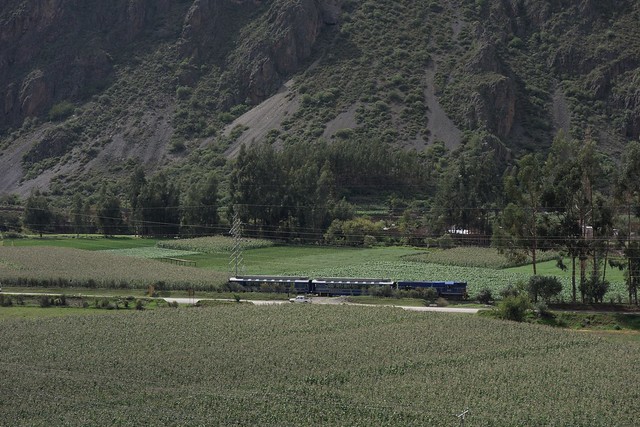
Across the river.
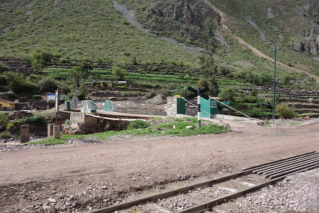
There's a small village surrounded by agriculture on the other side of the river.

We spot a Giant Hummingbird.


And a large, but NOT giant hummingbird. ;-)

Video of the green hummingbird.
Video link, click here.
Map that shows the trails on the other side of the river from Ollantaytambo. Our plan is to walk from Puente Inca (at lower right, and basically adjacent to Ollantaytambo) to about halfway between the Chullpas (tombs) and Campamento (camping area). Then return to Ollantaytambo by walking back down to the Mirador Pakariqtampu and over to Pueblo Cachiccata on a trail not shown on this map, cross the river at the Puente Cachicatta, and then walk through the fields to Ollantaytambo.

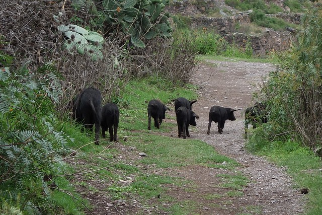
But first we have it to maneuver by this sow and her piglets.
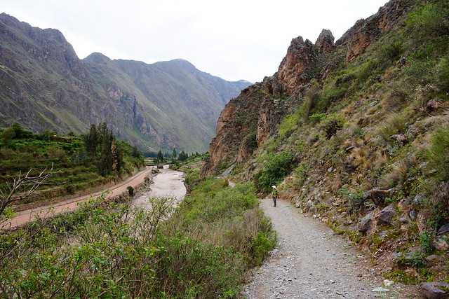
This PeruRail train is headed to Machu Picchu.

In the next two photos you can see the Great Ramp on which the stones from the quarry were hauled up to the Temple del Sol at Oallantaytambo. It's runs from left to right in the middle left of the photo.


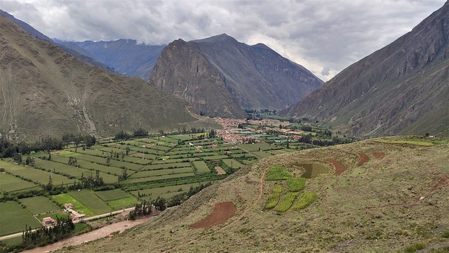
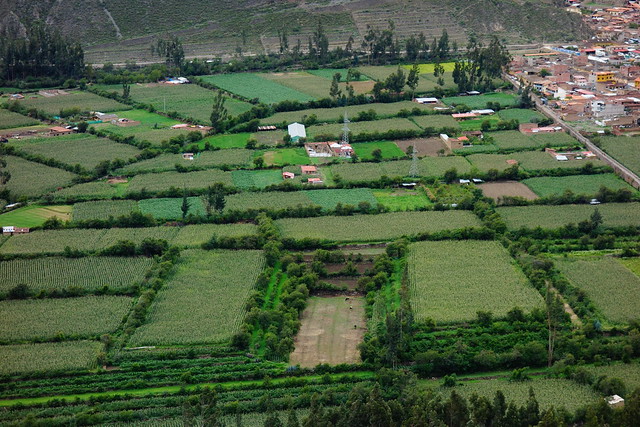

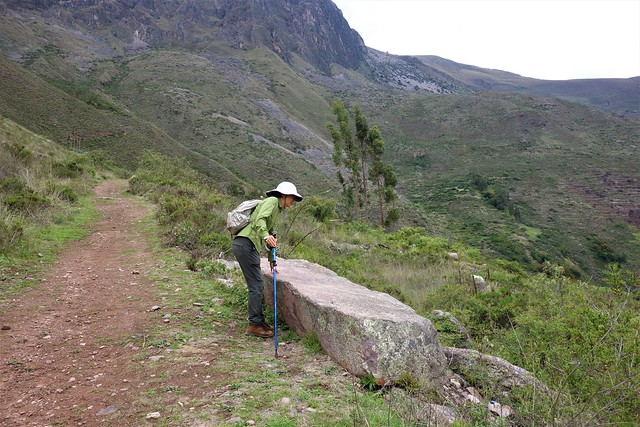
Sun-Ling touches a so-called "tired stone"; a pink granite monolith that never made it all the way from the quarry and across the river and up the Great Ramp to Ollantaytambo.
And we finally get a view of the 3 quarries up head at the base of the cliffs.

In the quarry. One big purple stone and several burial towers.

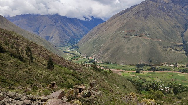
Turn-around point.
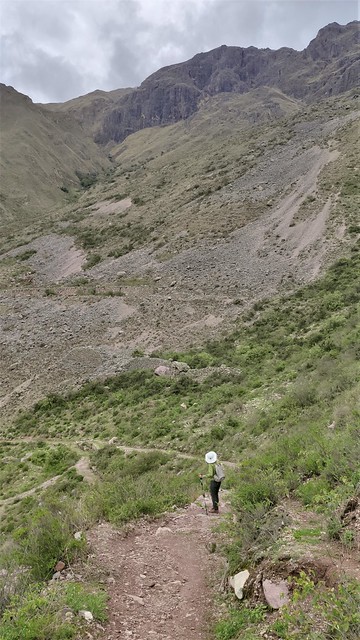
Heading down to Cachiqata.
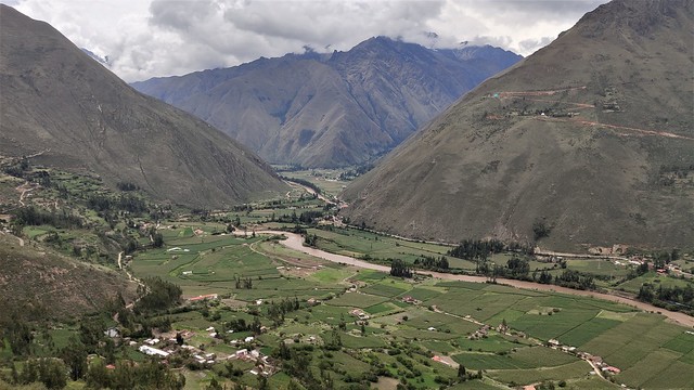
In this shot you can see the Trompe-l'œil Gran Pyramid. It's in the green fields. Let your eye find the diagonal "line" in the middle that goes from left to right. Then imagine it's one edge of a giant pyramid formed by the terraced cornfields.
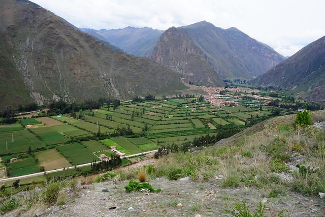
Sitting on a tired stone.

Highway through the corn fields.


Not this way.

The Great Ramp - used to haul stone monoliths up to Ollantaytambo - can be seen in the distance above the building's roof and below the power lines.

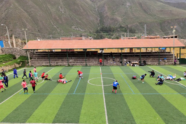
Bullring and soccer field.

Tug-of-war.
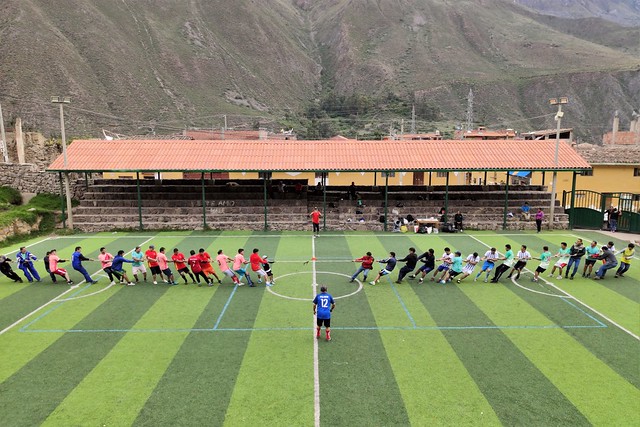
FAIL. But everyone's laughing.
Couple of plates of Arroz Cubano.

Congratulations on the humming bird photos!
ReplyDeleteThanks Kathy!
ReplyDelete