Tuesday, February 28, 2017

Nerja checked off

When we found that the bus from Lanjaron to Malaga goes right by Nerja, we decided on a quick stopover in this Costa del Sol resort town.

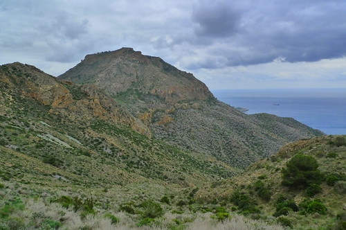
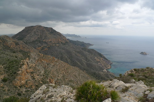
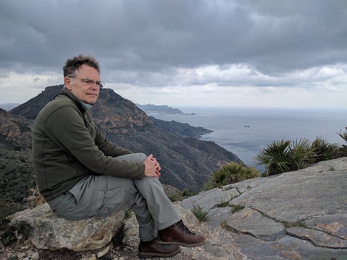
Nerja itself is a pleasant seaside village with three streets. Warm weather seeking northerners have mushroomed Nerja into a major resort town in the Costa Del Sol in the last few decades. One can hardly fault them, as the area's particular suitability for human habitation had long been evidenced by prehistoric cave paintings nearby (not being cave fans, we gave that a miss).

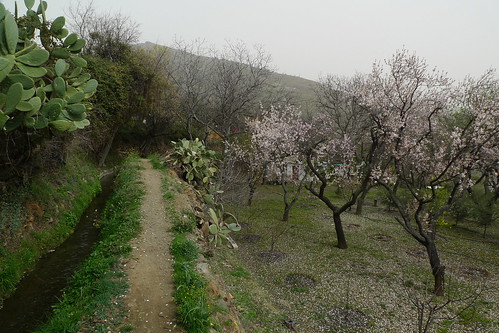
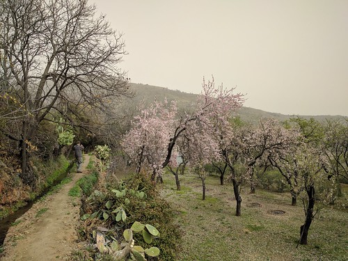
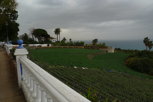
A century ago, the area grew sugar cane; even now vegetable and fruit fields extend all the way to the water. A good part of the fields have turned into housing developments for people from northern Spain and above who both vacation and retire here. I remember reading about such developments during the last financial crisis. We didn't think the area looked particularly boomy or depressed as there were a good many baby boomers roaming around muttering a multitude of languages. We so got the idea is Costa del Sol is like Florida for Europe!

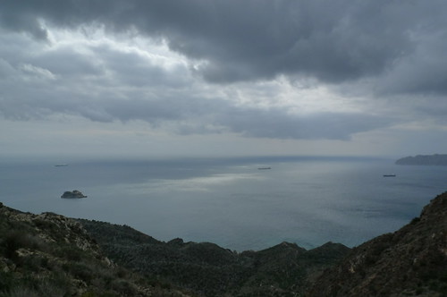
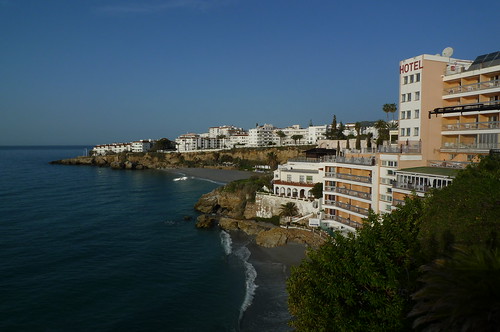
Looking WEST from Balcón de Europa.
Nerja, Andalucía, Spain

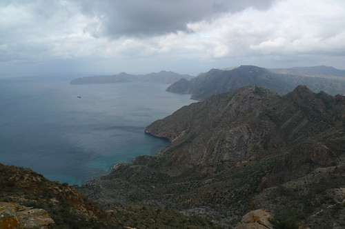
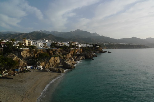
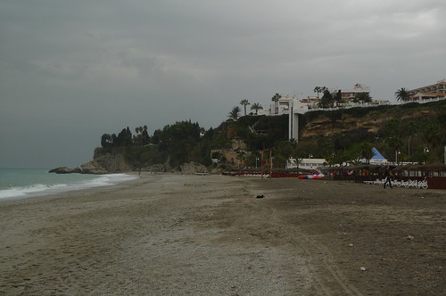
And then EAST....Cliffs and beaches, no?
Nerja, Andalucía, Spain

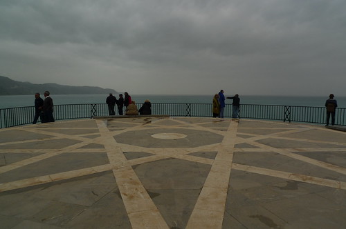
And the Balcón itself faces SOUTH (more or less.)
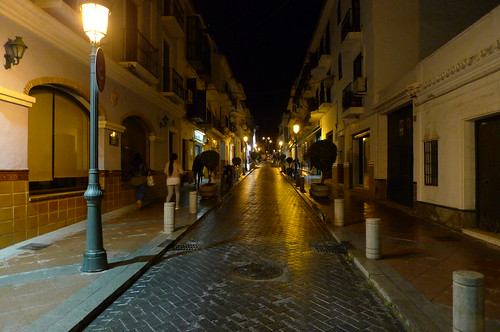
Nerja, Andalucía, Spain

Streets at night.
Nerja, Andalucía, Spain

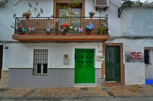
And in in the daytime.
Nerja, Andalucía, Spain

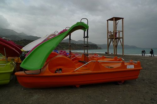
Lifeguard stand, and paddle boat with slide.
Nerja, Andalucía, Spain

Beach with elevator access.
Nerja, Andalucía, Spain

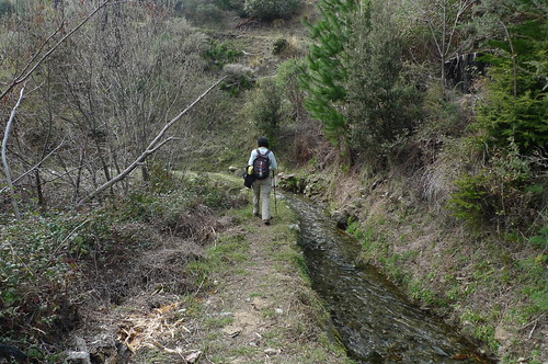
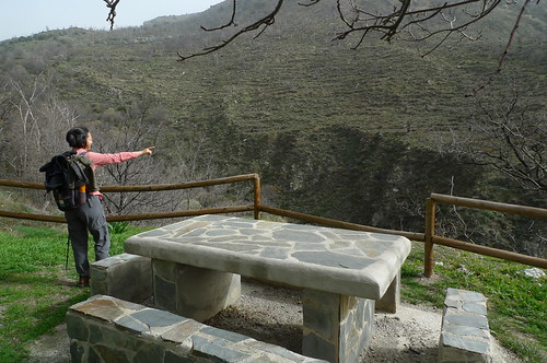
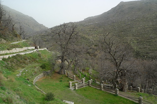
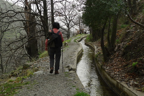
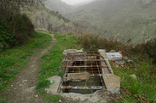
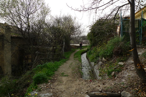
At the edge of town, fruits and vegetables are grown below this modern-ish irrigation channel.
Nerja, Andalucía, Spain

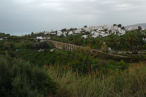
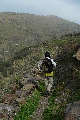
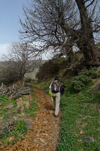
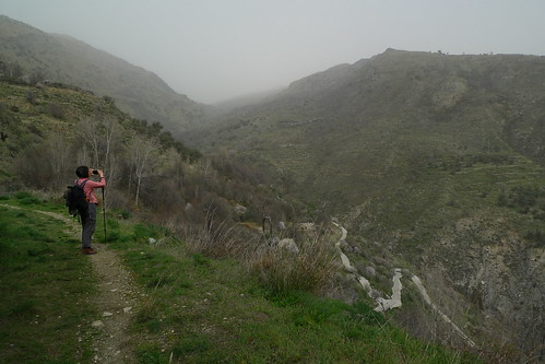
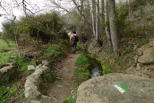
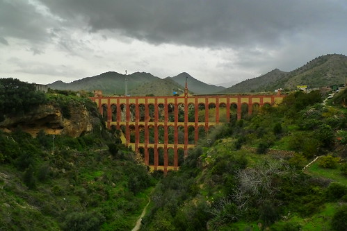
On our walk to Maro, a town 4 kms to the east, we passed this 19th century aqueduct. It brought water to a sugar factory.
Nerja, Andalucía, Spain

Maro.
Nerja, Andalucía, Spain

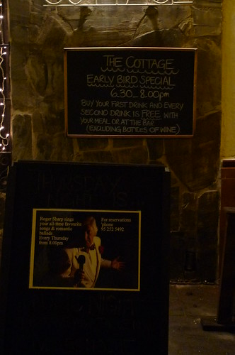
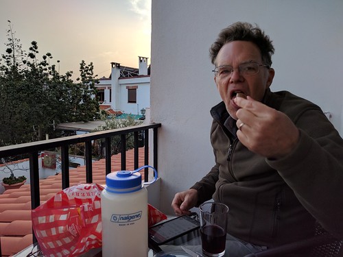
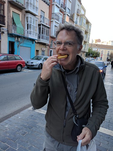
I was joking with SL that although Nerja was reminiscent of South Florida there were no early bird specials; then we saw this. ;-)
Nerja, Andalucía, Spain


Sunday, February 26, 2017

Lanjarón

We came to Lanjaron, a small town south of Granada in the Andalusia region of Spain, to do some hiking. As Lanjaron is perched at 750 meters above sea level on the south side of the Sierra Nevada, one can literally start walking up the mountains from anywhere in town.

The mountains are terraced as far as you can see in any direction: up, down, left, or right. The Rio Lanjaron is diverted into irrigation ditches to water the fields below, and to fill bottles of the famous Lanjaron Mineral Water. The upper terraces are populated with gnarly, ancient chestnut trees, domestic goat and wild goats, with a sprinkling of almond and fruit trees.

One day we walked up to Casa Tello, at about 1500 meters, mainly along the east side of the Rio Lanjaron (following the yellow blazes). The next day we followed the green blazes on the west side of the river up to the Huerta de las Monjas (Nuns's Garden) following a series of irrigation canals.

Just above the town center, the tight pattern of stone farmhouses, terraced fields, well-tended footpaths and irrigation ditches reminded us of villages in rural china. We hope to return to Lanjaron one day.

Inspiration: When walking about town we saw a one-legged cyclist ride by in a group with two other cyclists. Inspired. Motivated.

The Yellow Trail and Green Trail, both start right at City Hall. There are also big maps of each trail posted outside City Hall. Let the hiking begin!
Lanjaron, Spain

Getting going on the Yellow Trail up to Casas Forestales de Tello. Several thousand feet to go.
Lanjaron, Spain

Chestnut husks litter the trail.
Lanjaron, Spain

Old chestnut trees.
Lanjaron, Spain

Sun-Ling sitting on what's left of the flat roof of an old building, halfway up to Tello.
Lanjaron, Spain

Good signage for the trail.
Lanjaron, Spain

Passing by several Artisan Workshops, improbably high up the mountain it seemed. Then we noticed an old road coming from the other direction. ;-)
Lanjaron, Spain

Crossing a small bridge over the nearly dry Rio Lanjaron - almost at the Casa Tello - most of the flow is diverted into irrigation channels. Keep reading.
Lanjaron, Spain

The terracing kept going up and up.
Lanjaron, Spain

Finally, the snow-capped Sierra Nevada Mts are spotted.
Lanjaron, Spain

Along the irrigation channel (Acequia Nueva).
Lanjaron, Spain

Descending.
Lanjaron, Spain

Almonds and fruit trees are blooming at lower elevations.
Lanjaron, Spain

Lanjaron, Spain

We're down after a long day; so it's happy hour with olives, chips, and vine on the balcony.
Lanjaron, Spain

The next day it's up to the Huerta de las Monjas following the Green Trail. I liked this fence "cutout" - keeps the view from the picnic table.
Lanjaron, Spain

Huerta de las Monjas and chestnut trees.
Lanjaron, Spain

Lanjaron, Spain

Headed down following several irrigation channels. Great walking as they are almost level...
Lanjaron, Spain

...and sometimes covered.
Lanjaron, Spain

Lanjaron, Spain

Back closer to town, there are many terraced groves of olives and fruit trees along the irrigation channels.
Lanjaron, Spain

Lanjaron, Spain

Lanjaron, Spain

Lanjaron, Spain

Lanjaron, Spain

Tuesday, February 21, 2017

Cartagena, Spain

Cartagena has some rough edges in the area between the Bus Station and the newly restored Roman Amphitheater, but otherwise it's a normal port town with a naval base; plus a picture-perfect historic downtown for evening strolling. And just outside the city, there is awesome hiking along the GR 92 ie the Sendero del Mediterraneo.

We rolled in on the bus from Valencia about 4pm, checked-in with our pleasant and helpful Airbnb hosts, then bee-lined to catch the Roman Amphitheater and nearby city viewpoint at sunset. By then a full paseo (leisurely evening stroll) was in progress on the main drag; so we joined in, admiring the windowed balconies, then stopping for drinks and tapas before heading home.

Our one full day: our host drove us to the foot of Monte Roldán and though it was a late start - we seem to be operating on Spanish time - we had a nice 15 km walk with leg-stretching elevation gain and great views both inland and to the sea.

Deep frying churros.
Churros - Cartagena, Spain

Eating the churros; gone in seconds.
Cartagena, Spain

Cartagena's Roman Amphitheater.
Cartagena, Spain

View from the viewpoint to the port.
Cartagena, Spain

View back to town. We stayed in the long brown and white apartment building behind the dome.
Cartagena, Spain

Cartagena is surrounded by hills.
Cartagena, Spain

City Hall.
Cartagena, Spain

Paseo with Carnival lights.

Cartagena, Spain

Drinks and tapas.
Drinks and Tapas - Cartagena, Spain

The railway station at night.
Train Station - Cartagena, Spain

View SOUTH from top of Monte Roldan.
Cartagena, Spain

View inland from Monte Roldan (at 470 meters elevation - about 1500 feet).
Cartagena, Spain

Stylish abandoned fortifications at the top of Roldan.
Cartagena, Spain

A cloudy, cool, windy day makes for great hiking.
Cartagena, Spain

Farther SOUTH on the GR 92 we catch a good view back to Roldan.
Cartagena, Spain

Sun-Ling.
Cartagena, Spain

Cartagena, Spain

And a view NORTH from our turn-around point, with views to Roldan and just behind right, the edge of Cartagena Port.
Cartagena, Spain

Cartagena, Spain

Also at the turn around; views to the nude beach (so we are told) at Portus.
Cartagena, Spain

Almost home, we stop for churros, porras, hot chocolate, and asiatico (coffee).
Churros, Porras, Choclate, Asiático - Cartagena, Spain

Most Recent Post

Kandy: Tooth Relic Temple

According to the Tooth Relic Temple website , on Wednesdays there is a ritual of tooth washing, in addition to daily rituals. What we had no...

Most Popular Posts of Last 30 Days