Tuesday, May 28, 2019

Seoul: Walking the Old City Wall

The Seoul City Wall was built in the 14-century. In the past 30 years the "fortress wall" has been restored and revitalized with a 18.7 km well-traveled walking trail atop and beside the wall. Parts of the northern and western walls that had been closed or restricted due to security concerns are wide open with lessened restriction policy for Bukaksan so new that the signage was not update when we passed through on April 18, 2019.

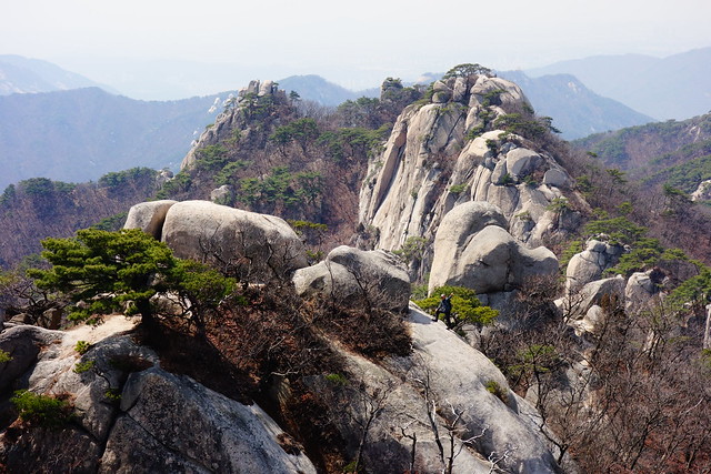
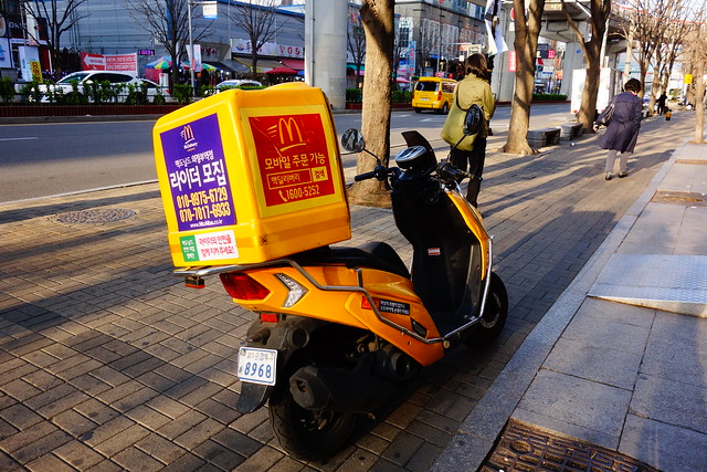
Lonely Planet recommends starting at the Great East Gate (Dongdaemum)and walking counter-clockwise in order to be fresh when walking over Bukaksan Peak (342m/1125ft) and Inwangsan Peak (338m/1108ft). So that's what we did although after more than 4 months on the road we were not even close to fresh when we started the walk. Haha.

We could not just "start" at Great East Gate. My father had taken a photo of that same gate in 1954, so I had to attempt to capture the same angle which was not so easy as there is much more traffic now.

First 1954. Check out the green+yellow trolleys.


In 2019 there are green buses but I did not get a good shot with a green bus. Next time.
Dongdaemun (Great East Gate) - Seoul City Wall - Seoul, South Korea

Looking back down to the East Gate with the futuristic Dongdaemun Design Plaza behind (look for low white blobs with a brown patch on top0.
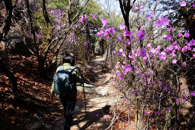
Dongdaemun (Great East Gate) - Seoul City Wall - Seoul, South Korea

Off we go.
Danger - Seoul City Wall - Seoul, South Korea

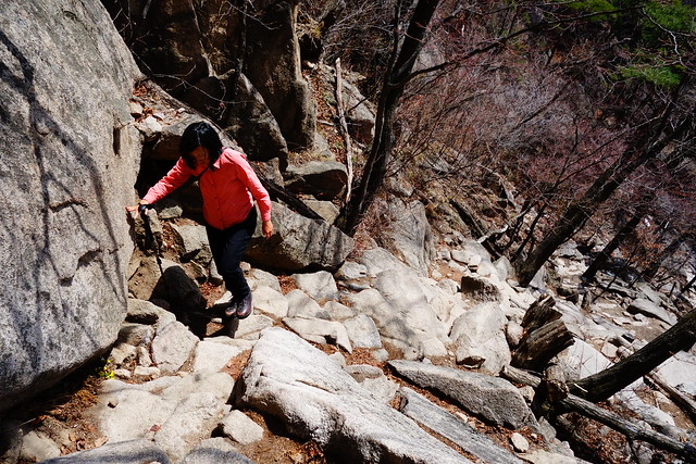
It's a bit tricky to follow the trail along the wall as sometimes you walk on top, sometimes beside on the outside, sometimes beside on the inside. Often one can choose which side to walk on, but only one of the trails is part of the circumnavigation trail, the other ends.
Seoul City Wall - Seoul, South Korea

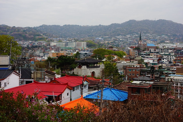
But it's almost always "up" with good views. Here's looking south towards the Lotte Tower.
View from the Seoul City Wall - Seoul, South Korea

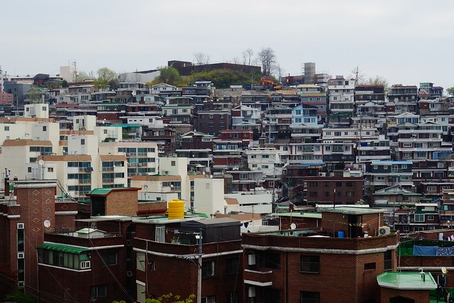
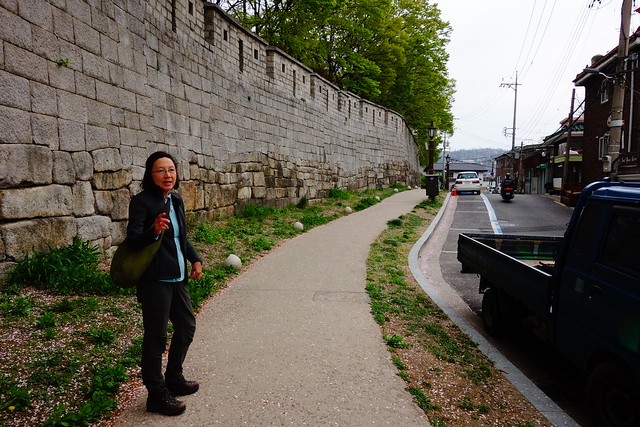
A neighborhood just outside the wall.
View to the Outside of the Seoul City Wall - Seoul, South Korea

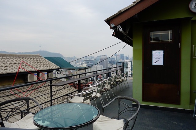
Cafe with a view, but closed today.
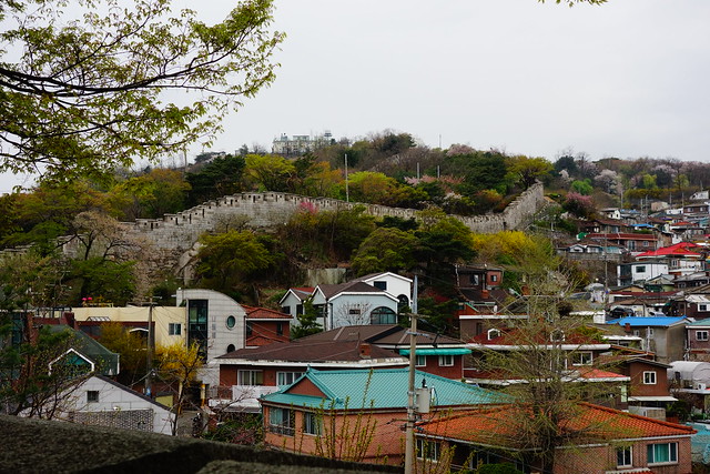
Cafe with a View - Seoul City Wall - Seoul, South Korea

Looking north.
Seoul City Wall - Seoul, South Korea

Looking south.
Caution - Seoul City Wall - Seoul, South Korea

Outside the wall.
Seoul City Wall - Seoul, South Korea

The wall has 4 big gates and 4 small gates. This is one of the small gates.
Gate - Seoul City Wall - Seoul, South Korea

Seoul City Wall - Seoul, South Korea

From this point we can see the 3km section of wall that is inside a military base. We brought our passports in order to get the permit required to walk that section.
Seoul City Wall - Seoul, South Korea

A local man befriended us for several kilometers.
Walking with The Local - Seoul City Wall - Seoul, South Korea

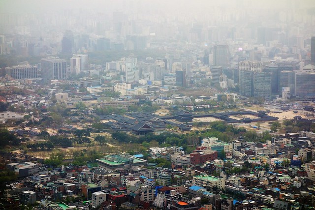
From this viewpoint one can see the grounds of Gyeongbokgung Palace (middle left) and a camouflaged building on the military base (middle right).
Seoul City Wall - Seoul, South Korea

Well, it turns out neither passports nor permits are now needed - a recent change - to walk the 3.2 km section of the wall that is inside the military base. There is an information booth where they give you a lanyard to put around your neck. Sheesh. But there are still restrictions on photography and wired plainclothes security every few hundred meters.
Seoul City Wall - Seoul, South Korea

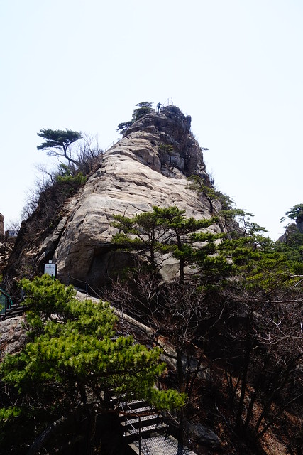
Heading up, still inside the base, to Bukaksan (342m).
Seoul City Wall - Seoul, South Korea

View from Bukaksan down to Gyeongbokgung Palace.
Seoul City Wall - Seoul, South Korea

Caution - Seoul City Wall - Seoul, South Korea

Another view down to Gyeongbokgung Palace.
View from the Seoul City Wall - Seoul, South Korea

Looking back to Inwangsan Peak (338m).
City Wall - Seoul, South Korea

And finally a view from Inwangsan Peak down to Gyeongbokgung Palace.
Seoul City Wall - Seoul, South Korea

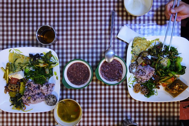
After 13kms we were ready to get off the wall and head to a vegetarian buffet we had checked out the previous day. But first, let's take the left fork of the trail.
City Wall - Seoul, South Korea

Hangwachae Vegan All-You-Can-Eat Buffet = Delicious!
Seoul, South Korea

Sunday, May 26, 2019

Seoul: Day Trip to Uijeongbu

When my father was in the U.S. Army 1954 he was stationed near Uijeongbu μ˜μ •λΆ€μ‹œ, a city 12 miles north of Seoul ie towards the border with North Korea. So of course we had to go there. Uijeongbu, then a village, now has a population of over 450,000.

Although we could not walk to Uijeongbu from our guesthouse, we did the next best thing and rode the subway to the Dobong Mountain Station and hiked from there over the mountains to Uijeongbu City Hall, a total of only 12kms , but it took us 8hrs. And rode the subway from Uijeongbu Station back to Seoul.

I usually put the GPS track at the end of the walk, but here it makes sense to put it first. We started in the south, at the subway station, walked north to Uijeongbu. Our highest point was Mount Dobong at 732 meters.
GPS Track of our walk from Dobongsan to Uijeongbu City Hall  -  Bukhansan National Park - near Seoul, South Korea

View from Dobongsan Metro Station to Moutnt Dobong.
Dobongsan  -  Bukhansan National Park - near Seoul, South Korea

Instead of a souvenir gauntlet from the station to the trailhead, there was a outdoor gear and apparel store gauntlet. Oh my! There must have been over 100 small shops.
Dobongsan  -  Bukhansan National Park - near Seoul, South Korea

Dobongsan  -  Bukhansan National Park - near Seoul, South Korea

Mount Dobong is located in Bukhansan National Park.
Dobongsan  -  Bukhansan National Park - near Seoul, South Korea

Beautiful day for a walk.
Dobongsan  -  Bukhansan National Park - near Seoul, South Korea

Dobongsan  -  Bukhansan National Park - near Seoul, South Korea

Dobongsan  -  Bukhansan National Park - near Seoul, South Korea

We pass a Buddhist Temple.
Dobongsan  -  Bukhansan National Park - near Seoul, South Korea

Lunch break with a view south to Seoul and the Lotte World Tower (barely visible in the haze) which is a 123-floor, 555-metre (1,821 ft) supertall skyscraper. It's the tallest building in South Korea, the 5th tallest in the world.
Dobongsan  -  Bukhansan National Park - near Seoul, South Korea

And up, up.
Dobongsan  -  Bukhansan National Park - near Seoul, South Korea

View from the summit of Mount Dobong at 726 meters (~2400 ft).
Dobongsan  -  Bukhansan National Park - near Seoul, South Korea

This hiker stepped in front of me to take a selfie right as I was snapping. Hmmmm.
Dobongsan  -  Bukhansan National Park - near Seoul, South Korea

Another view, to the southwest, from the summit. From here the trail forks north and south along a ridge. We headed north towards Uijeongbu.
Dobongsan  -  Bukhansan National Park - near Seoul, South Korea

Dobongsan  -  Bukhansan National Park - near Seoul, South Korea

Map with north to the right.
Dobongsan  -  Bukhansan National Park - near Seoul, South Korea

Dobongsan  -  Bukhansan National Park - near Seoul, South Korea

We took the detour.
Dobongsan  -  Bukhansan National Park - near Seoul, South Korea

Surprised to see a helicopter emergency landing pad. Guess it's needed.
Dobongsan  -  Bukhansan National Park - near Seoul, South Korea

Walking north on the ridge trail with a view to the valley between Seoul and Uijeongbu with railroad and highway.
Dobongsan  -  Bukhansan National Park - near Seoul, South Korea

Getting our first look at Uijeongbu. The hut at far left is manned by the National Park.
Dobongsan  -  Bukhansan National Park - near Seoul, South Korea

Looking northeast towards Uijeongbu.
Dobongsan  -  Bukhansan National Park - near Seoul, South Korea

Spring flowering trees/shrubs.
Dobongsan  -  Bukhansan National Park - near Seoul, South Korea

After a long slog north on the ridge trail - there were a few tricky ups-and-downs and at several places the trail was very hard to follow - we come down to a Buddhist Temple at the edge of Uijeongbu.
Uijeongbu, South Korea

The city of Uijeongbu has completed a new walking course with signage, bridges, information, and toilets. We follow it to City hall.
Uijeongbu, South Korea

Uijeongbu, South Korea

Uijeongbu, South Korea

Uijeongbu, South Korea

City Hall.
Uijeongbu, South Korea

The new-ish elevated light rail to goes right by the City Hall and connects to both the Uijeongbu subway station, and train station.
Uijeongbu, South Korea

My father may have stood here 65 years ago.
Uijeongbu, South Korea

And here is John Sr in 1954.


We walk to Uijeongbu Station; about 10 minutes east.
Uijeongbu, South Korea

Cross a tributary that flows south to the Han River in Seoul.
Uijeongbu, South Korea

Skyscraper.
Uijeongbu, South Korea

McDonald's Delivery  Scooter - Uijeongbu, South Korea

More Uijeongbu.
Uijeongbu, South Korea

Back in Seoul near our guesthouse.
Seoul, South Korea

Sun-Ling cooks dinner after a long, rewarding day of walking.
Sun-Ling Cooks Dinner -  Insadong R Guesthouse - Seoul, South Korea


Most Recent Post

Uzbekistan: Khiva

Khiva is really the first stop on our upstream tour of the Silk Road. An important post on the Silk Road, Khiva was razed and rebuilt many t...

Most Popular Posts of Last 30 Days