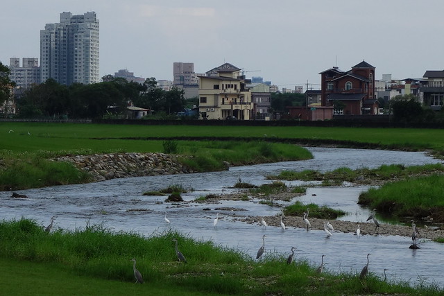
We had expected to enjoy the bike path. We were totally surprised to see all the heron and egret activities in such populated areas. You would have to go to the Everglades National Park to see them like this.
Meihuahu is another surprise, such a remarkable lake, reminds us of Lake Johnson or Shelly Lake, yet, because of the wide, paved path made bicycles and electric carts possible. Tons of people were enjoying the lake.
All the bikeways and hiking paths in Taiwan are most impressive. It is evident that they are constantly maintained and improved. Today we had to detour twice because of maintenance and improvements. Along the Annongxi trail, paint is still drying on the brand new rest stations. It is said that the recent 2-decade Rising of China comes from measuring local officials on GDP growth. Here in Taiwan, it feels as if the local officials are being measured on kilometers of greenway, which would be most fitting for such a green and lush island.
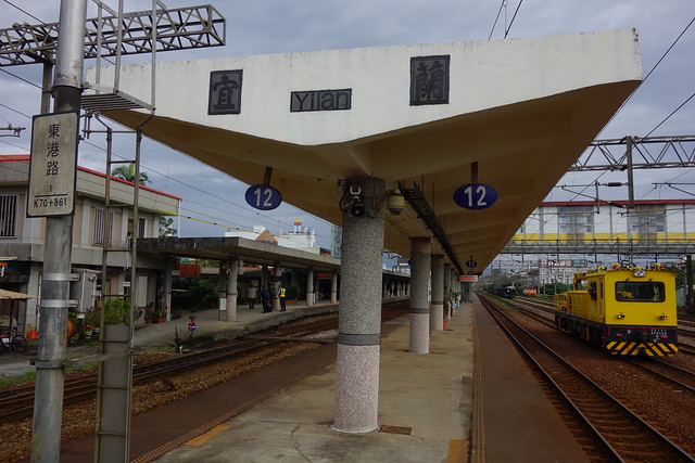
Yilan Station; who we know so well now.
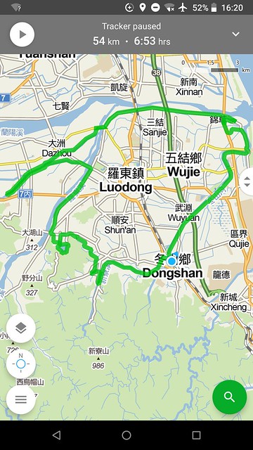
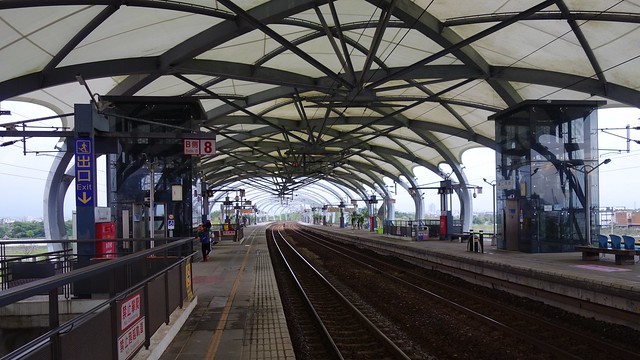
4 or 5 stops south of Yilan City, in Loudong Township, we rent a couple of bikes at Dongshan Station and set out on a big loop, northeast and counter-clockwise.
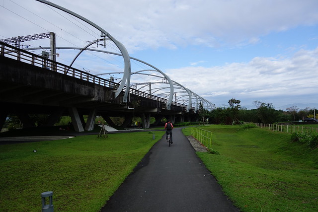
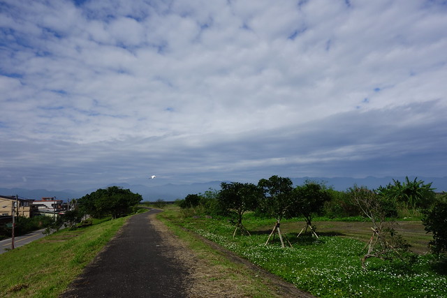
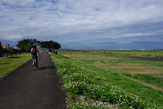
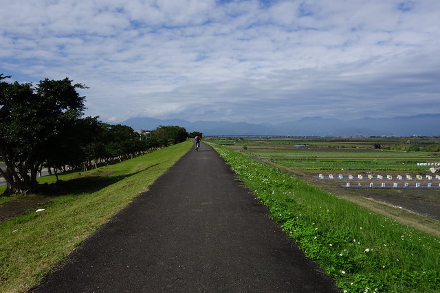
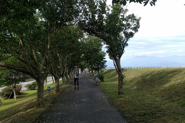
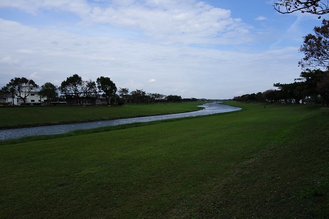
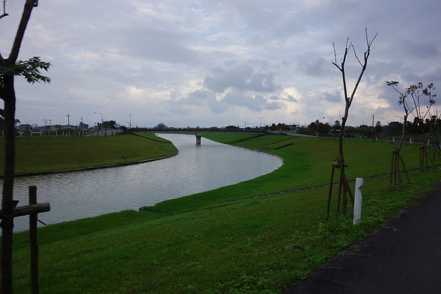
Most of the day we rode on bike paths - separated from other vehicles; cars and scooters - that ran along the tops of river levees. Yilan County has many rivers that flow into the Pacific. You'll see in the photos below.
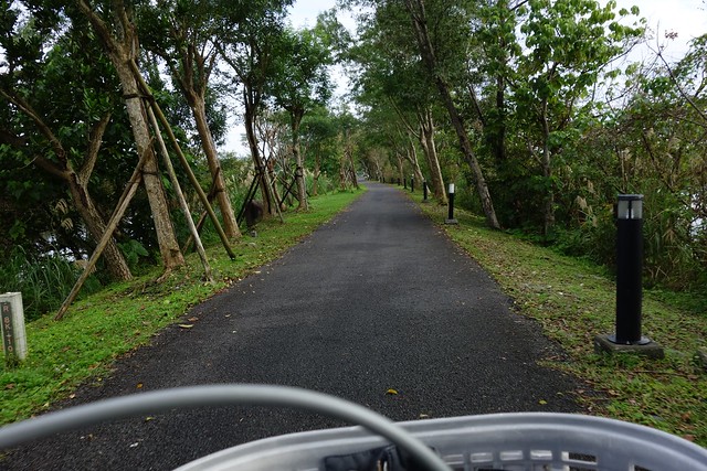
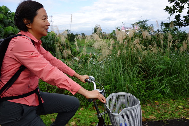
This first section is along the Dong Shan River.
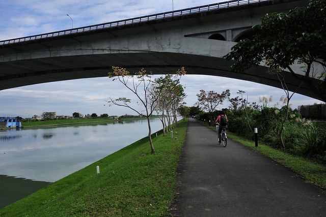
We were surprised to see many waterbirds including herons and egrets.
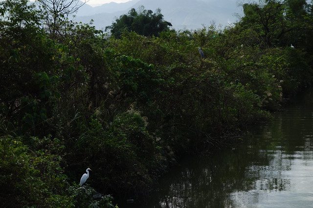
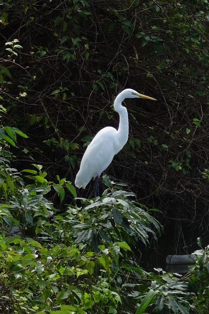
A beautiful sunny day.

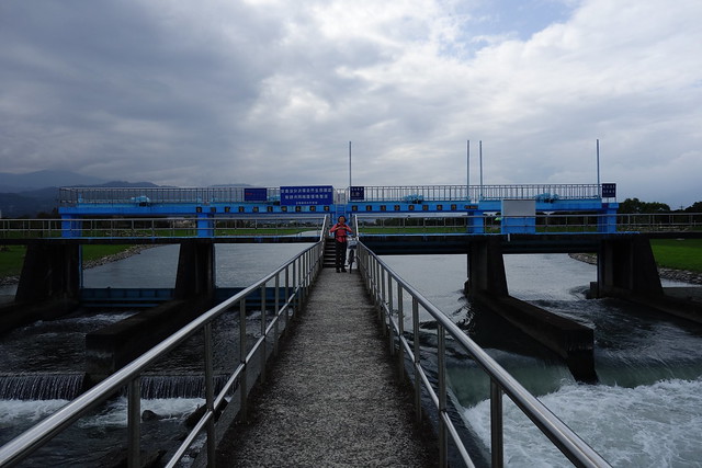
We ride across to the other bank on a massive set of flood gates.

And continue on the Dong Shan towards its confluence with the LanYang, the largest river in the basin.
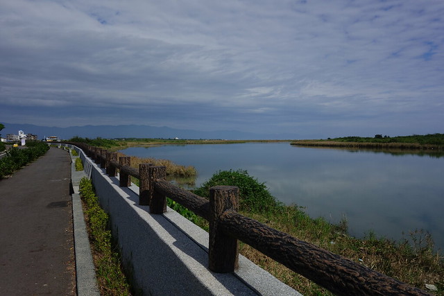
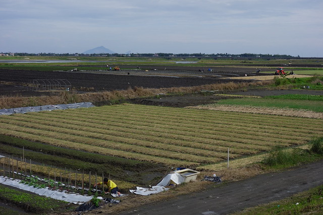
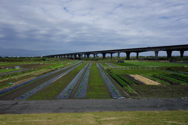
The Lanyang River has massive levees and acres of cultivation in the wide riverbed below.
Link here.
This bridge gives a sense of the width of the Lanyang.
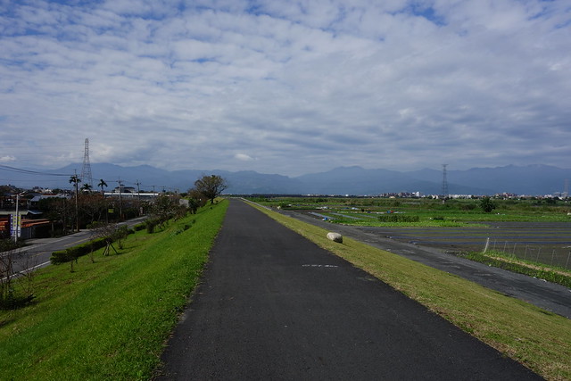
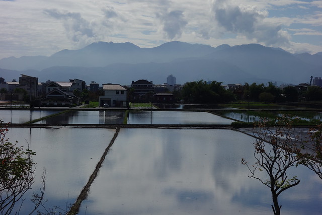
Looking south, away from the river, there are houses and rice fields.
We are about to go under the RR tracks; loop half complete.
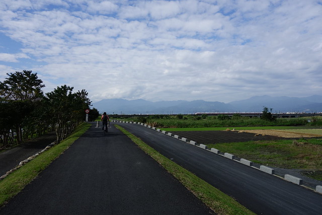
We set off up a tributary, the Annong River, for 7kms or so and then back; but first a lunch break.
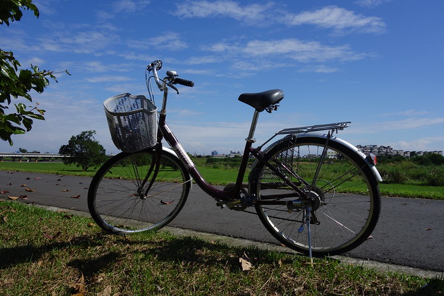
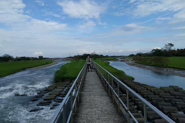
The Annong also has bike paths on top of its levees. And many benches, pavilions, and restrooms.
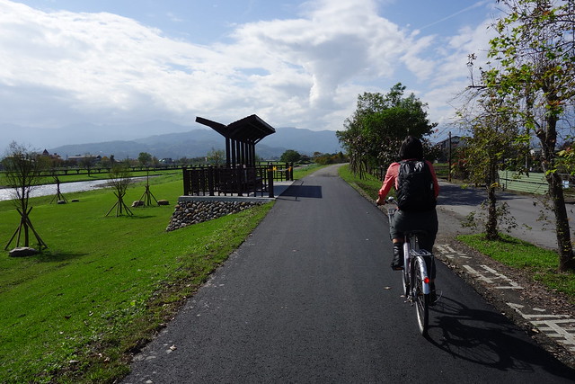
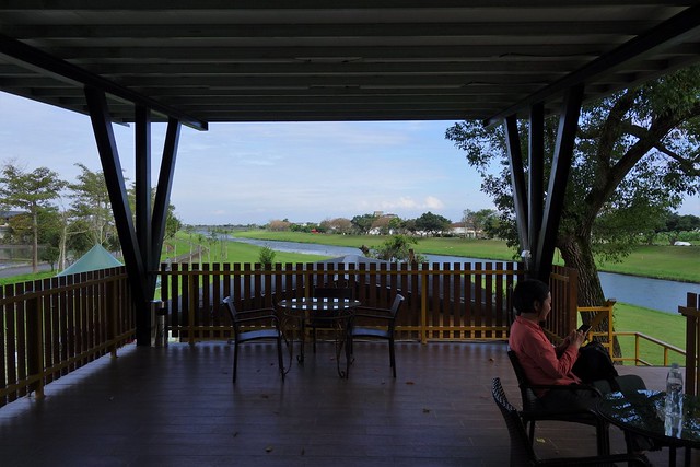
How about this combo restroom and upper deck with wicker furniture?
The Annong flood gates.

More herons and egrets at this bend in the Annong.
To get off the Annong levees and back to the outer Lanyang levees we had to roll our bikes up the stairs, ride cross a bridge, then roll them down the stairs. Most of the other paths had ramps, not stairs.
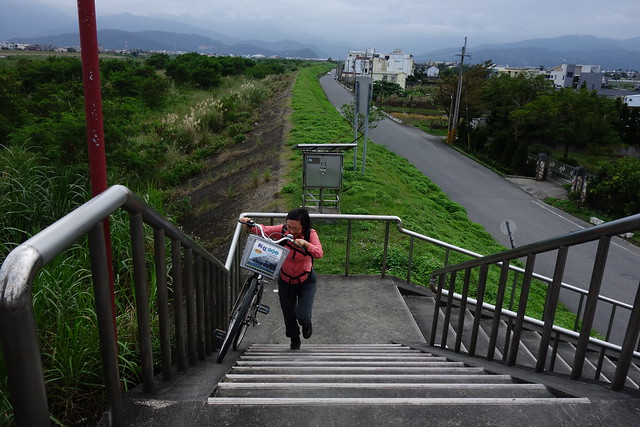
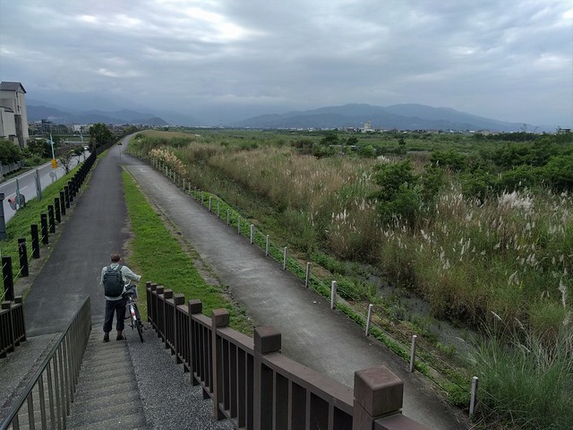
Link here.
Farther south, we stopped at Meihua Lake for some cold drinks, and a ride around the lake.

Electric carts are very popular at Meihua Lake.
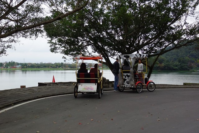
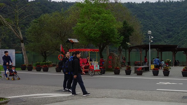
And the final 10 kms meanders back to DongShan Station on back roads and levees.
Our route as tracked by GPS and offline maps.
DongShan Station!


3 comments:
I don't see Meihua Lake on the GPS track.
Great to see the miles of greenway! Loved the pictures of the water fowl.
@Liz, I was surprised to see how the herons fish together!
Post a Comment