Lonely Planet recommends starting at the Great East Gate (Dongdaemum)and walking counter-clockwise in order to be fresh when walking over Bukaksan Peak (342m/1125ft) and Inwangsan Peak (338m/1108ft). So that's what we did although after more than 4 months on the road we were not even close to fresh when we started the walk. Haha.
We could not just "start" at Great East Gate. My father had taken a photo of that same gate in 1954, so I had to attempt to capture the same angle which was not so easy as there is much more traffic now.
First 1954. Check out the green+yellow trolleys.

In 2019 there are green buses but I did not get a good shot with a green bus. Next time.

Looking back down to the East Gate with the futuristic Dongdaemun Design Plaza behind (look for low white blobs with a brown patch on top0.

Off we go.

It's a bit tricky to follow the trail along the wall as sometimes you walk on top, sometimes beside on the outside, sometimes beside on the inside. Often one can choose which side to walk on, but only one of the trails is part of the circumnavigation trail, the other ends.

But it's almost always "up" with good views. Here's looking south towards the Lotte Tower.
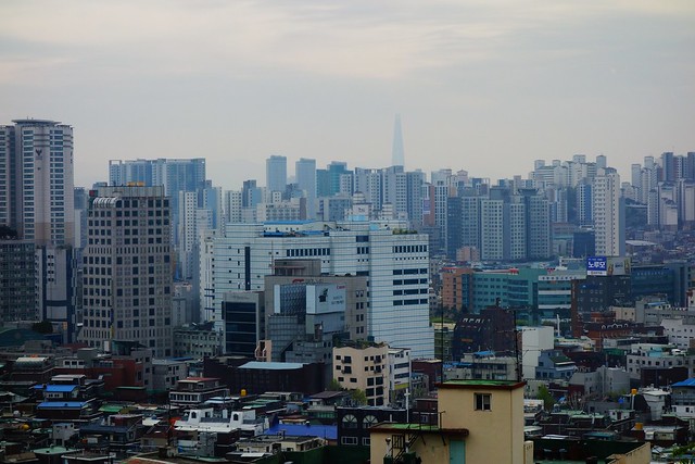
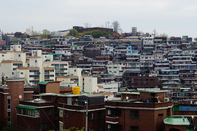
A neighborhood just outside the wall.
Cafe with a view, but closed today.
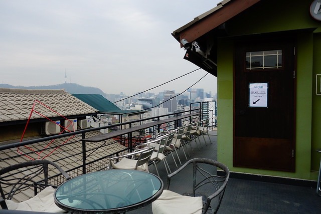
Looking north.

Looking south.

Outside the wall.
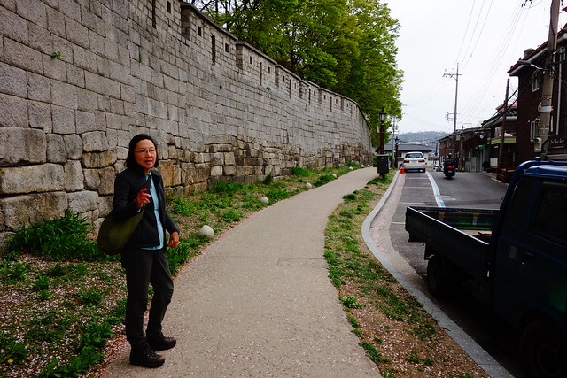
The wall has 4 big gates and 4 small gates. This is one of the small gates.
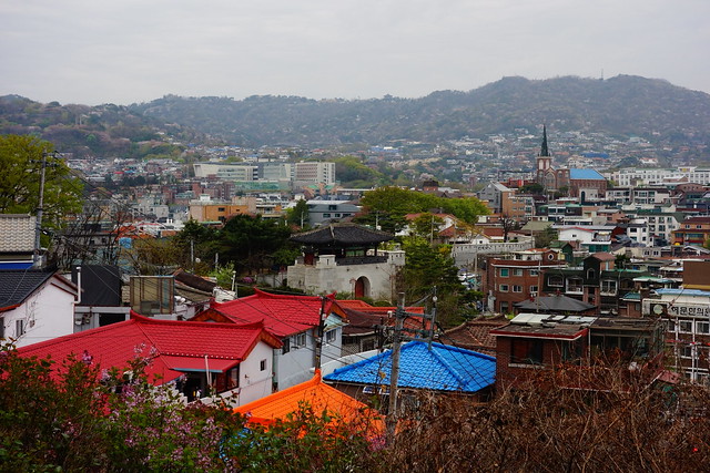

From this point we can see the 3km section of wall that is inside a military base. We brought our passports in order to get the permit required to walk that section.
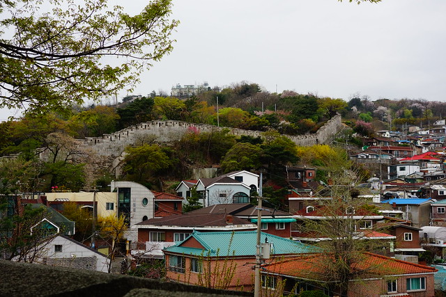
A local man befriended us for several kilometers.

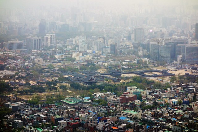
From this viewpoint one can see the grounds of Gyeongbokgung Palace (middle left) and a camouflaged building on the military base (middle right).

Well, it turns out neither passports nor permits are now needed - a recent change - to walk the 3.2 km section of the wall that is inside the military base. There is an information booth where they give you a lanyard to put around your neck. Sheesh. But there are still restrictions on photography and wired plainclothes security every few hundred meters.

Heading up, still inside the base, to Bukaksan (342m).

View from Bukaksan down to Gyeongbokgung Palace.


Another view down to Gyeongbokgung Palace.

Looking back to Inwangsan Peak (338m).

And finally a view from Inwangsan Peak down to Gyeongbokgung Palace.
After 13kms we were ready to get off the wall and head to a vegetarian buffet we had checked out the previous day. But first, let's take the left fork of the trail.

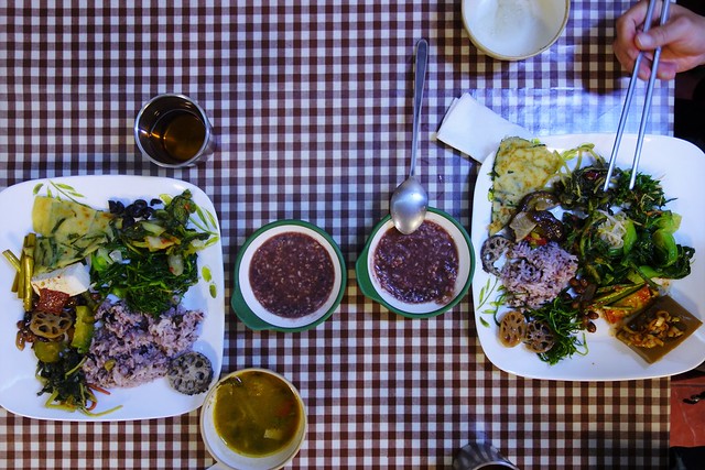
Hangwachae Vegan All-You-Can-Eat Buffet = Delicious!

2 comments:
Smog? Is that smog blurring your photos?
The tri-forked sign is a real hoot!
Crash, not sure if that is smog or the begining of evening mist, or both.
Post a Comment