Logistics for the day:
- Train from Bad Ischl to Hallstatt Station.
- Boat from Hallstatt Station to Hallstatt.
- Walk up to the Unseco Viewing Platform.
- Walk on the Brine Pipeline Trail to Steeg-Gosau Station.
- Train to Bad Ischl.
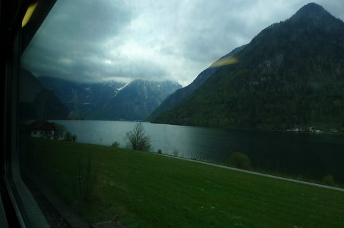
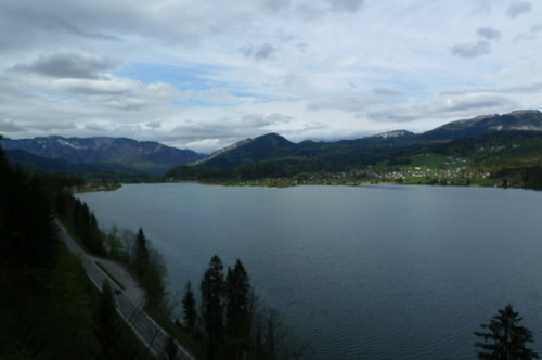
View from train approaching Hallstatt Station.
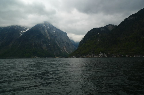
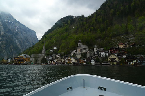
Crossing the Lake to HallStatt.
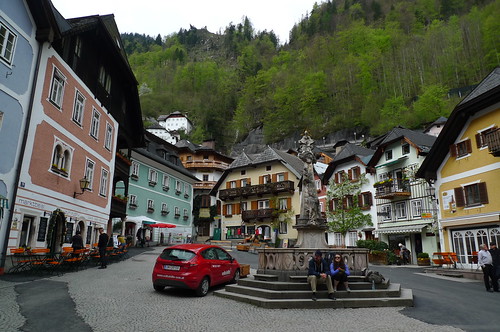
The cozy main square.
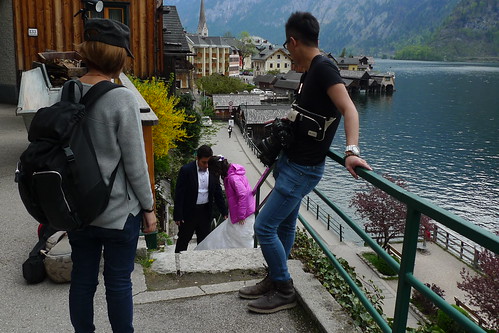
There were lots of Asian tourists in Hallstatt.
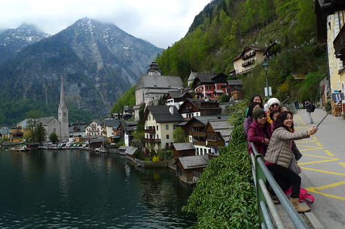
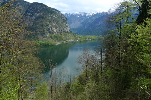
The views were tremendously good across the lake has we headed up to the UNESCO Viewing Platform directly above Hallstatt.
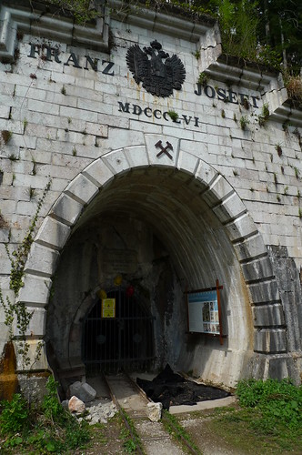
An entrance to one of the many salt mines.
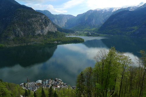
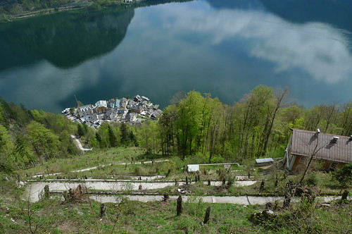
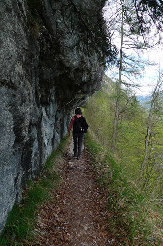
Hallstatt, far below the trail switchbacks. Aside: Ever walk up, and up, to a viewpoint just to find that the actual view is blocked by trees and bushes from below that have grown up over the years? Not so in this part of Austria. They have perfect viewpoint management. ;-)
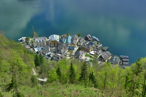
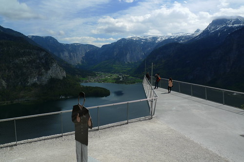
The amazing, and free, Unesco Viewing Platform.
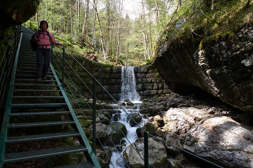
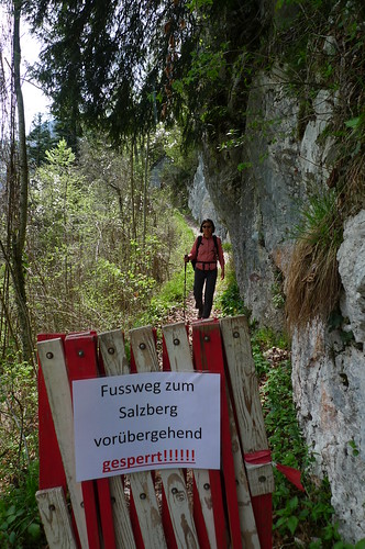
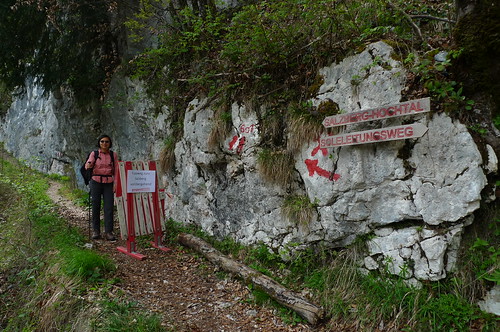
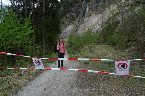
We started down the Soleweg (Brine Pipeline Trail) on sets of metal stairs that seemed to have been slightly crushed by a falling tree. Later we saw that this section of the trail was closed. Yikes!
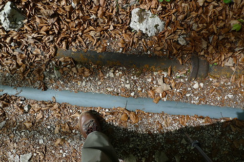
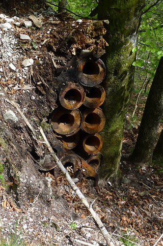
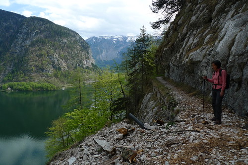
The trail follows the pipeline that even today takes salt brine from the Hallstatt mines some fifty kilometers downhill to Ebensee for processing. Along the way we spotted pipes, from wood to plastic to metal.
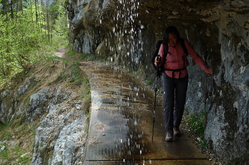
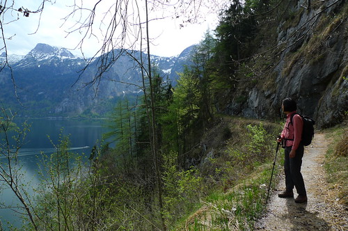
The trail continued to slope downward with great views of the lake and forest as we avoided the occasional avalanche and waterfall.
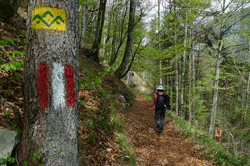
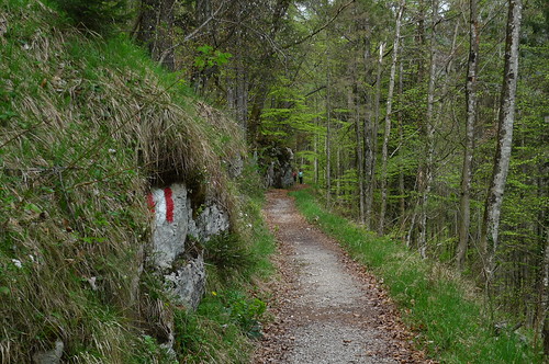
Blazes and beech leaves.
Whoops! Another closed section.
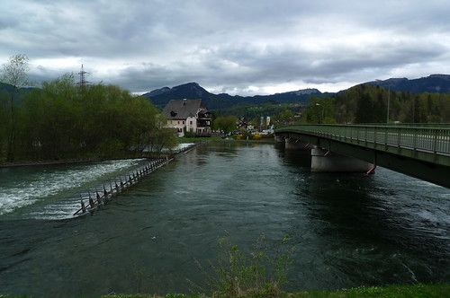
As we approach Steeg-Gosau, the trail is just above the road and lake.
And finally we cross the Traun River and head to the train station.What a fine hike!


3 comments:
For sure, most of the Blue Ridge Parkway overlooks are so overgrown that you can't view anything. We have preferred the Cherohala Skyway for exactly that reason but it, too, has become overgrown.
Google Maps photos include something named Photo Sphere. These are a 360 degree panorama which must be taken with a camera specifically meant for same. The PS from the Hallstatt ferry port gives a hint of the beautiful mountains surrounding the lake. Amazing how the camera can be in focus in 369 degrees.
Gorgeous views!
Post a Comment