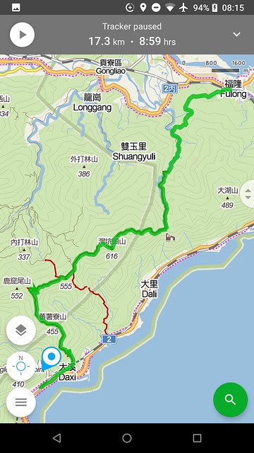
According to Lonely Planet, "if you can do only one hike in northern Taiwan, make it this one." I couldn't disagree. It is easily one of our top 10 hikes of all time. Like all the good hiking places in Taiwan, you can make your own program with different trail combos. We, of course, opted for the longest one, which ended up taking us nine hours, 1150M ascend and 1150M descend, over 17+ kilometers.
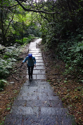
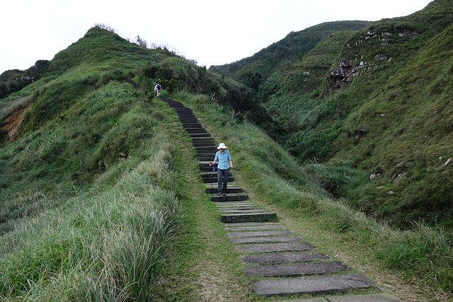
1. From Daxi station (sea level), 0.8Km to trail head, up the steps on the 5Km Taoyuangu Daxi trail to Taoyuangu (550M): steep, my GPS recorded even less distance than 5km. The stone steps are most impressive, but the wrong type of stone; very, very slippery (rainy season + humid climate + north slope).
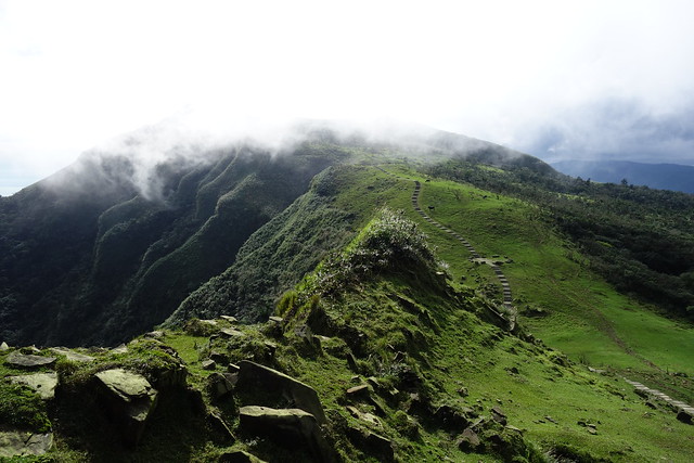
2. At the top we joinn the 4.5Km long Taoyuangu Caoling trail with many ups (450M) and downs. The Mountains+Sea combo was reminiscent of our favorite hikes along the Mediterranean.
3. The Caoling Historical Trail was an old trail over the mountain, built to aviod circumnavigating the peninsula. We were only on it for 3Km.
4. The last 4kms to Fulong station was another 150M up then down to the station.
A most exhilarating day!
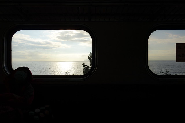
The sun has just come up over the Pacific and we are on the train from Yilan to Daxi; ready to walk!
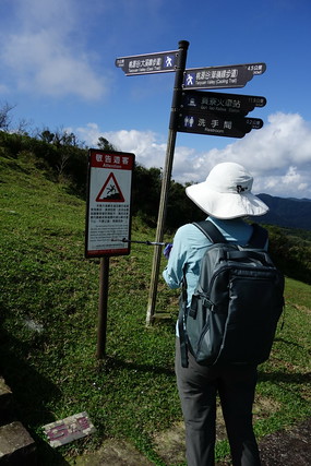
The stone steps, usually our friends, are very slippery today; in fact, a notice board up at 500 meters advises against descending. But we will not see it for another 3 hours.
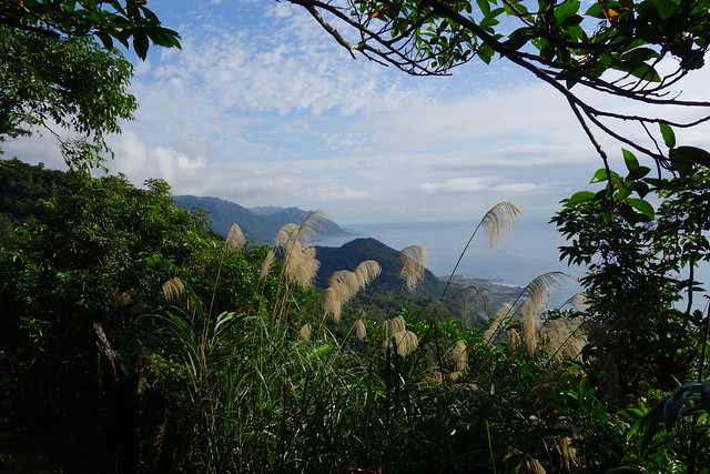
Some great views to the north. A hint of what is to come.
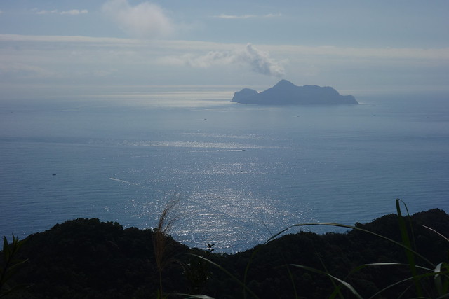
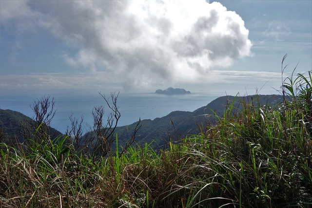
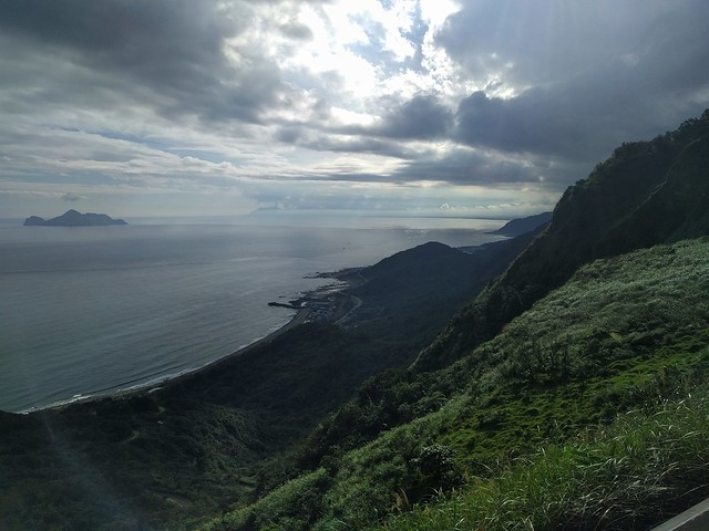
Guishan (Turtle Mountain) Island, stands offshore, adding beauty to our walk the entire day.
We walk along side the stones whenever possible.
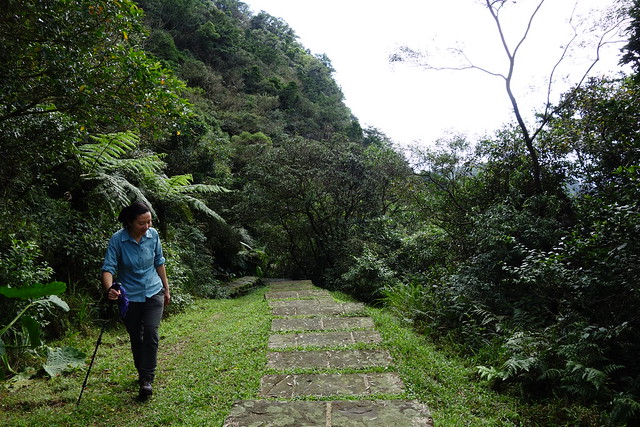
It's a pretty hot and sweaty ascent, but ameliorated by the slow pace required by the slippery stones.
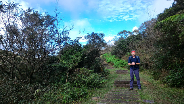
We finally reach the ridge that is called "Taoyuan Valley" and start walking north.
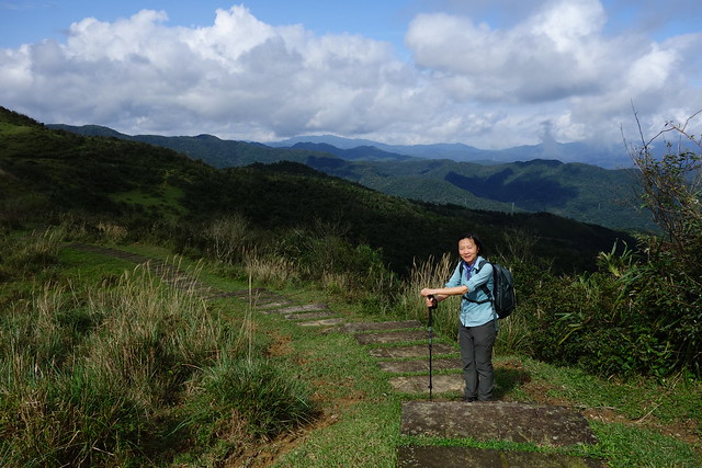
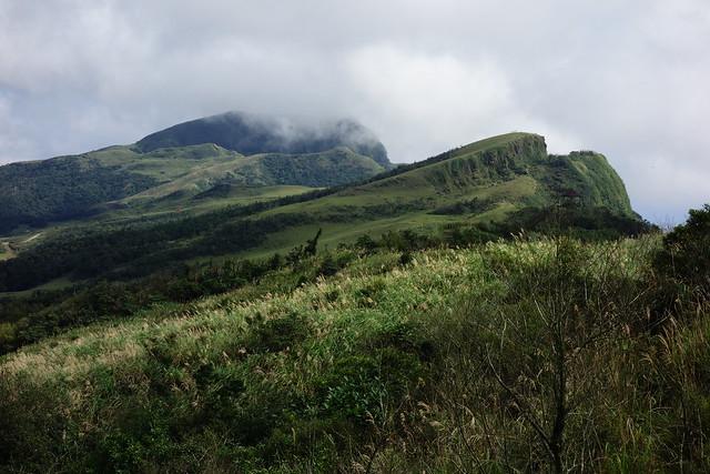
Spirits are high. What country!
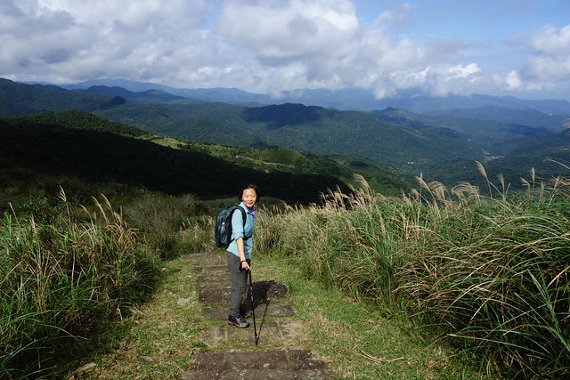
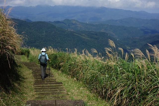

And on northward. It's cooler with a breeze up here at 500 meters. Extremely comfortable.
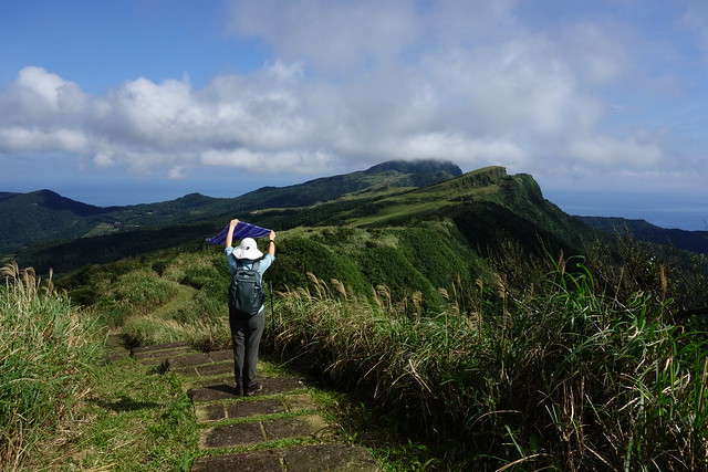
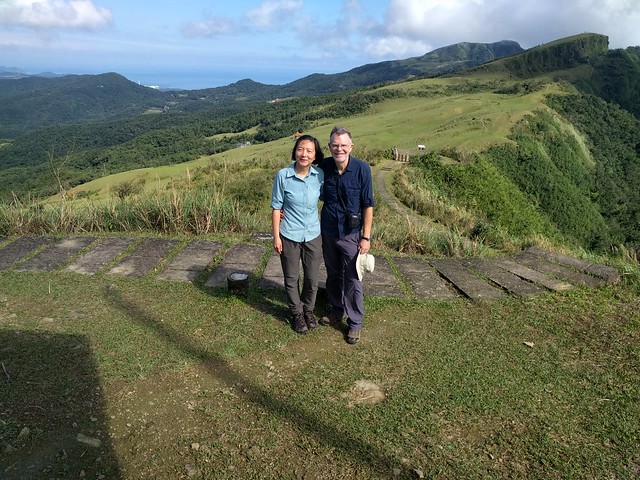
One of the few other hikers on this part of the trail.
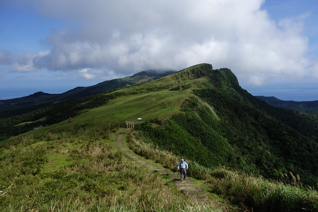
He takes our photo.
Guishan Island again.
"Do not descend this trail!"
Walking off the trail along the cliffs seems just the thing to do.
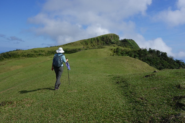
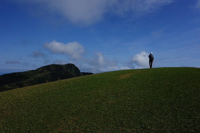

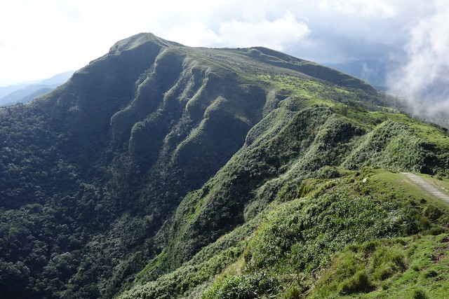
Looking to the 616 meter peak ahead, the highest point of the walk. And way back at the left is the smokestack of Nuclear Power Plant No. 4 where we cycled last week.
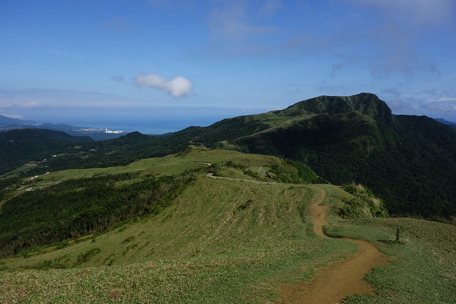
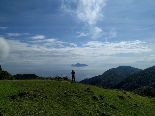
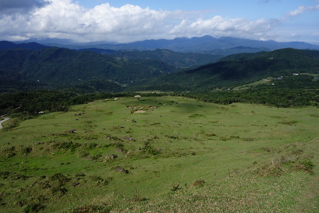
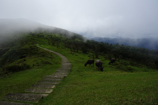
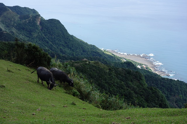
Looking inland. There are some water buffalo in the field below, and some terraced rice fields way way back.
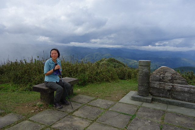
Up to 616 meters, about 2000 feet.
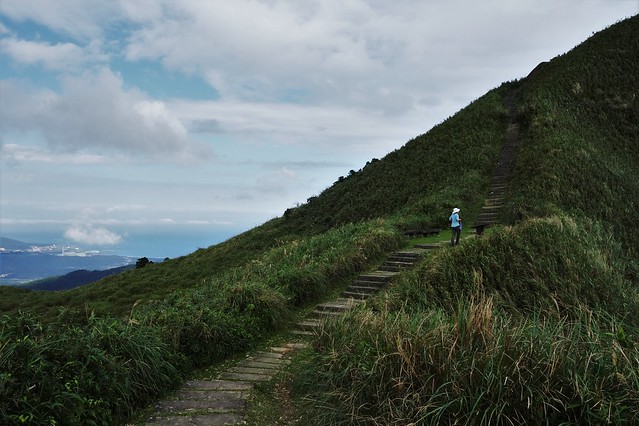
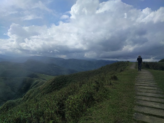
Taking a break at 616m as the clouds roll by...
... and the water buffalo graze.
Here's a video. With link here if the video below does not play.
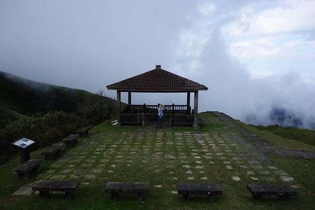
We stop at a pavilion for around of "dueling photos".

Almost down to the junction with the Caoling Historic Trail.
Guishan Island.
On the final 7 kms to Fulong Station.
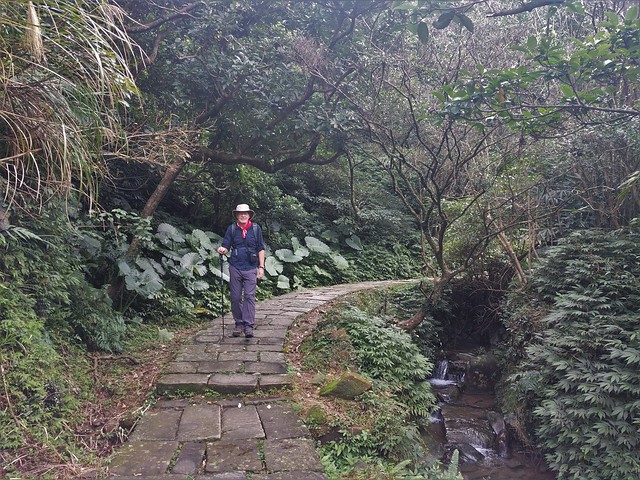
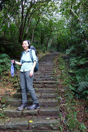
An actual section of the old trail/road?
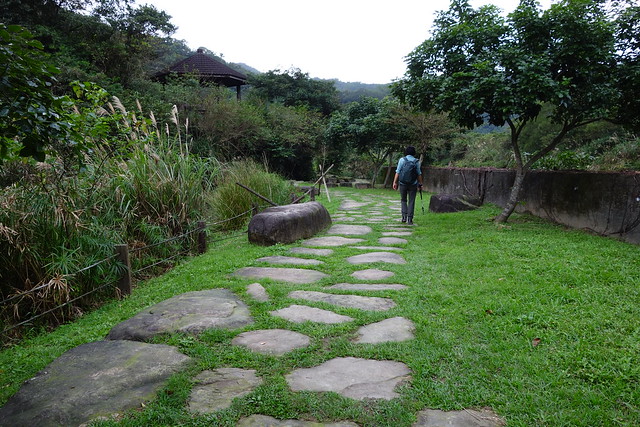
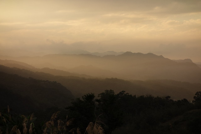
And the sun is setting as we walk the last km to Fulong. Whew! 17 amazing kilometers!
Here's the route and data.
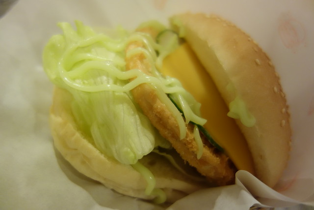
And after showering we head directly across the street from our hotel to Jane's Burgers, an independent veggie burger joint, run by the gregarious Jane, where it's BYOB.
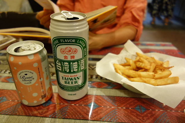
This is the Wasabi Burger.
Heading home via the Night Market.


5 comments:
This is so beautiful. Thanks for sharing with us. Next best thing to being with you.
Wow again! This looks like a strenuous trail so soon after your prior hike.
The scenery is so breath taking! Wow - 9 hours is intense. I am impressed. So what was the veggie patty made of?
@All,it was a beautiful walk. We'll have to do it every time we come to Taiwan. Maybe a different variation, maybe hitch a ride from the parking lot.
@Liz, the veggie patties are mass produced. Taiwan has lots of vegetarians, second to south India, but our estimation. There are a few different kinds, mostly from textured vegetable protein, the "fish pattie" from konjac, a tropical root vegetable.
Post a Comment