Although we could not walk to Uijeongbu from our guesthouse, we did the next best thing and rode the subway to the Dobong Mountain Station and hiked from there over the mountains to Uijeongbu City Hall, a total of only 12kms , but it took us 8hrs. And rode the subway from Uijeongbu Station back to Seoul.
I usually put the GPS track at the end of the walk, but here it makes sense to put it first. We started in the south, at the subway station, walked north to Uijeongbu. Our highest point was Mount Dobong at 732 meters.

View from Dobongsan Metro Station to Moutnt Dobong.

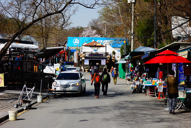
Instead of a souvenir gauntlet from the station to the trailhead, there was a outdoor gear and apparel store gauntlet. Oh my! There must have been over 100 small shops.

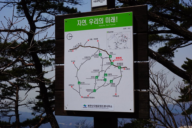
Mount Dobong is located in Bukhansan National Park.

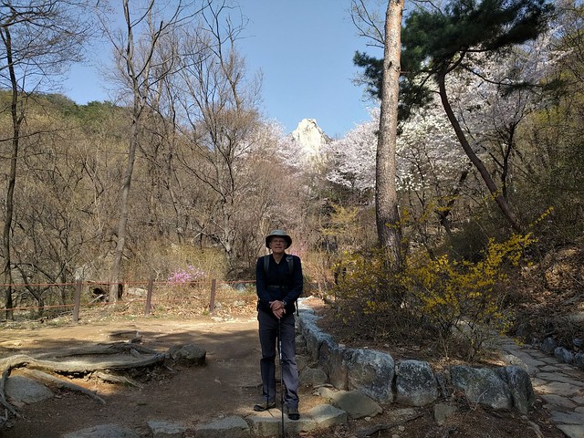
Beautiful day for a walk.


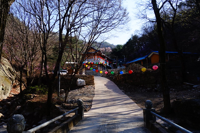
We pass a Buddhist Temple.

Lunch break with a view south to Seoul and the Lotte World Tower (barely visible in the haze) which is a 123-floor, 555-metre (1,821 ft) supertall skyscraper. It's the tallest building in South Korea, the 5th tallest in the world.

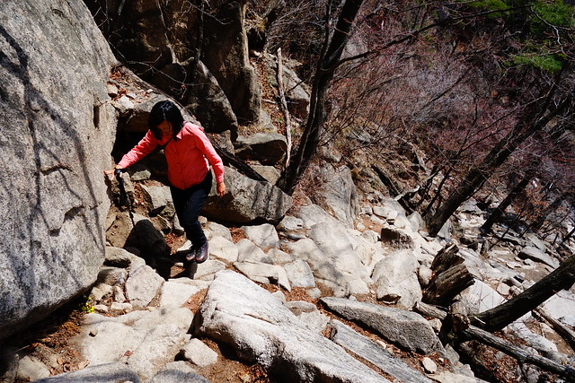
And up, up.
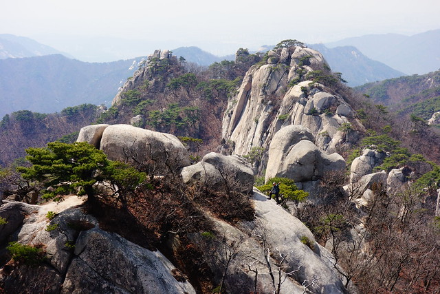
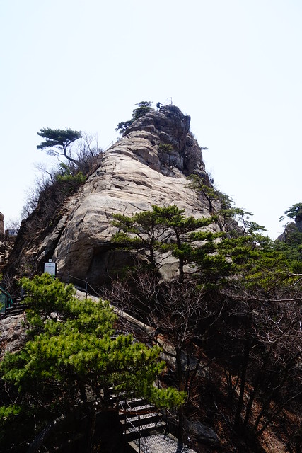
View from the summit of Mount Dobong at 726 meters (~2400 ft).

This hiker stepped in front of me to take a selfie right as I was snapping. Hmmmm.

Another view, to the southwest, from the summit. From here the trail forks north and south along a ridge. We headed north towards Uijeongbu.

Map with north to the right.
We took the detour.

Surprised to see a helicopter emergency landing pad. Guess it's needed.

Walking north on the ridge trail with a view to the valley between Seoul and Uijeongbu with railroad and highway.

Getting our first look at Uijeongbu. The hut at far left is manned by the National Park.

Looking northeast towards Uijeongbu.

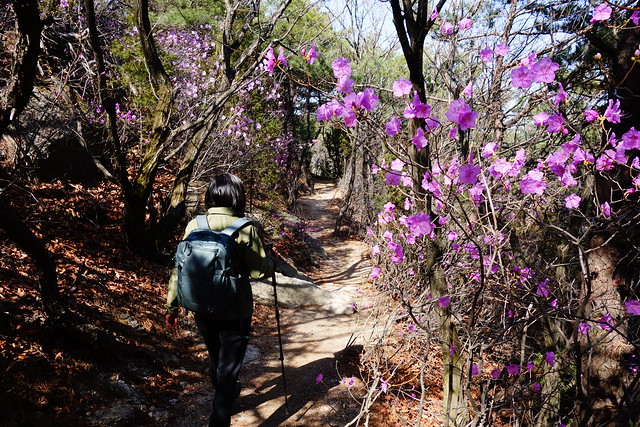
Spring flowering trees/shrubs.
After a long slog north on the ridge trail - there were a few tricky ups-and-downs and at several places the trail was very hard to follow - we come down to a Buddhist Temple at the edge of Uijeongbu.
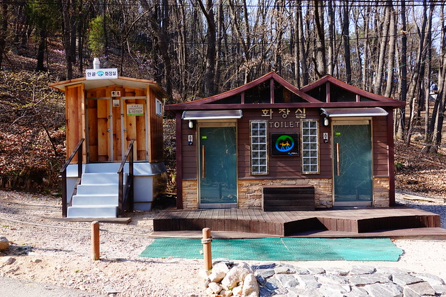
The city of Uijeongbu has completed a new walking course with signage, bridges, information, and toilets. We follow it to City hall.


City Hall.

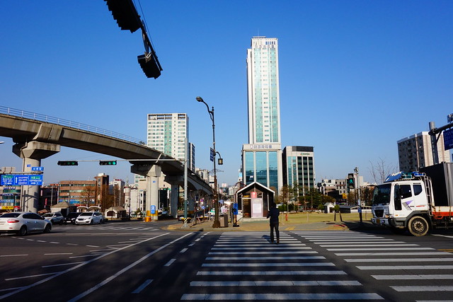
The new-ish elevated light rail to goes right by the City Hall and connects to both the Uijeongbu subway station, and train station.

My father may have stood here 65 years ago.
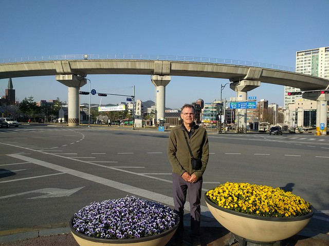
And here is John Sr in 1954.


We walk to Uijeongbu Station; about 10 minutes east.
Cross a tributary that flows south to the Han River in Seoul.

Skyscraper.

More Uijeongbu.

Back in Seoul near our guesthouse.

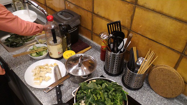
Sun-Ling cooks dinner after a long, rewarding day of walking.


2 comments:
Very interesting terrain although tough to hike.
I wonder what N Korea looks like compared to S Korea. South sure is built up, modern, streetcar electrical torn down, replaced by fuel powered buses.
Crash, In 2006 while living in Shanghai, we tried to visit North Korea but US citizens we're not allowed.
Post a Comment