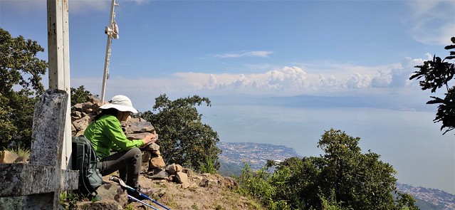
There are a mess of trails in the hills above Ajijic. They start right where streets end at ~1550 meters elevation. We picked to go up the El Tepalo trail by the waterfall, dry as expected, to the ridge, then along the ridge trail to Las Tres Cruces at ~2350 meters. Total elevation gain with all the ups and downs will be about 1000 meters.
We were relieved to find out that after the almost-two-year hiatus, we could still do such a hike, however slow. The trail was well maintained and traveled, at least half of it was in the shade, the tropic sun is unrelenting. I'm not sure if I could have made it if the kind clouds didn't shield me part of the way.
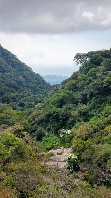
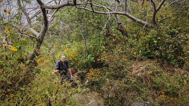
I love views high above bodies of water. The views along the trail, at viewpoints, were every bit spectacular as I had expected. There were several dozens of wildflowers blooming all along the trail.
The trails were well blazed, with signposts at junctions. There were more trails than marked on our offline map (openstreetmap), but the Strava heat map helped us pick a different route down, from the signposts. They all seemed to have steep parts. It was an exhilarating day of hiking!
This sign shows the route elevation of our walk. Las Tres Cruces (The Three Crosses) is basically the same as El Chapinaya.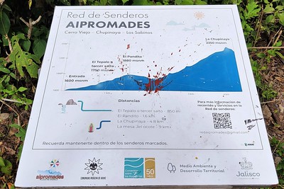





No comments:
Post a Comment