Jajce, located about 60 kms north of Travnik, is known for its in town waterfall, Old Town, and the two beautiful lakes to the west.
One day we hiked east to the summit of Mount Hum (44.314689, 17.309184). The next day we cycled west to the lakes.
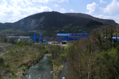
Just outside the scenic waters of Jajce there are several serious factories including this silicon producing plant owned by BSI.
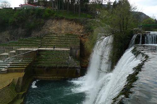
Some views of the in town waterfall.

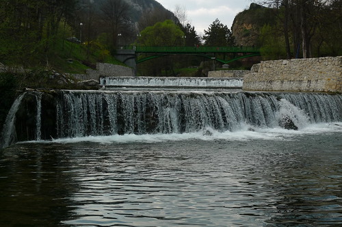
More smaller man-made falls above the main falls.
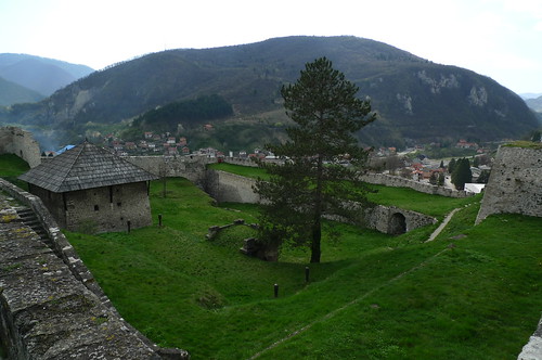
Inside the Old Town and it's Fortress/Castle.

Sun-Ling loves to walk fortified city walls and Jajce's did not disappoint.
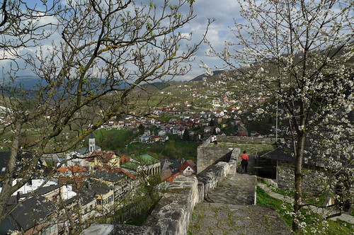
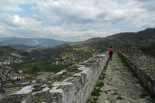
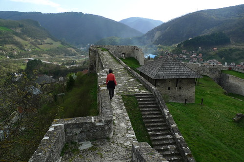
Looking east from the City Wall.
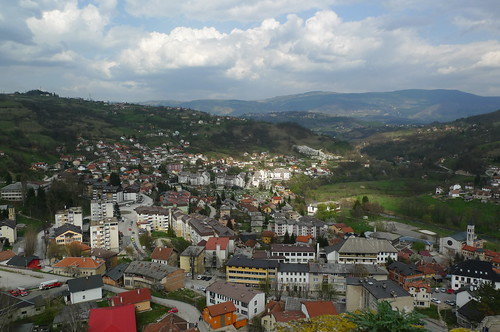
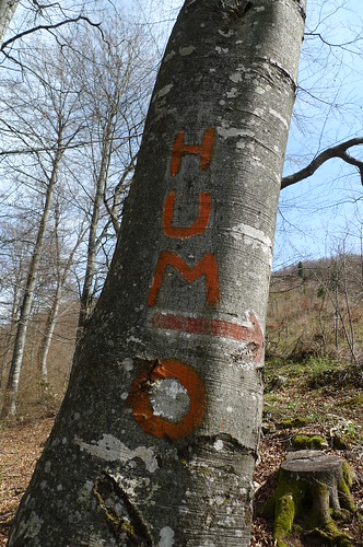
The walk east to HUM (pronounced whom) mountain.
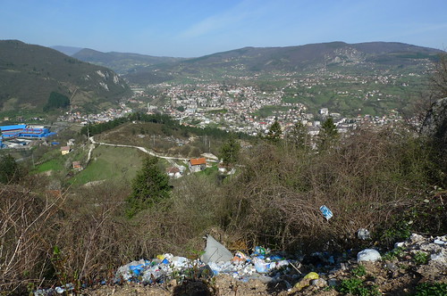
Sometimes roadside trash dumps give the best views.
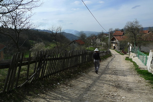
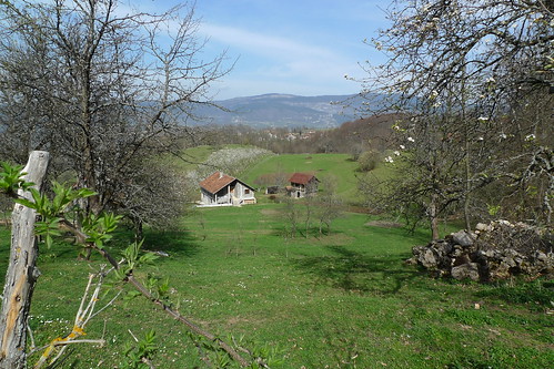
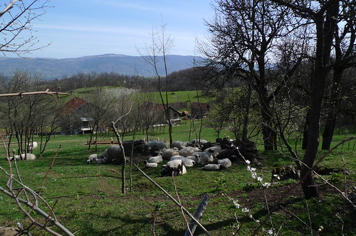
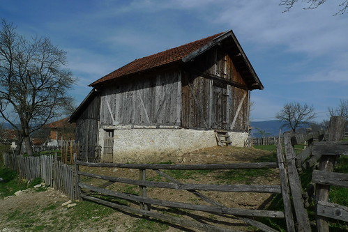
Idyllic mountain village with fenced lanes, flowering orchards, spiffy barns, and sheep.
But just above the idyllic village, as the trail gets steeper and steeper, there is evidence of the recent war; that is, signs warning of landmines.
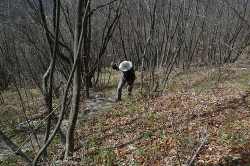
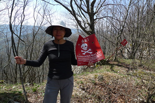
Mine! No Passing! Which means "stay on the trail". Following the blazes takes on a whole new meaning! We saw about 20 or 30 of these warning signs, most near the ridgetop.
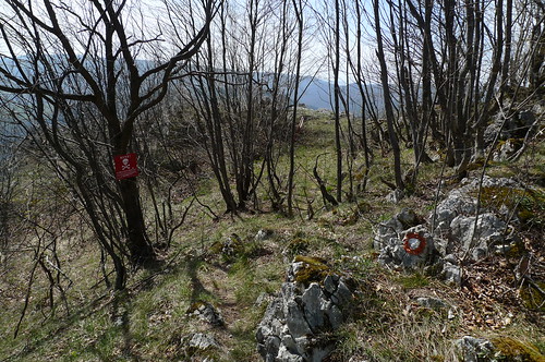
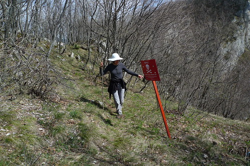
We did manage to stay on the trail and were rewarded with some great views.
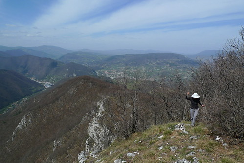
The Summit at 1162 meters elevation.
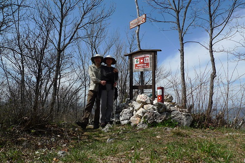
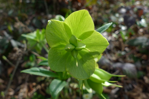
More Spring flowers appeared each minute it seemed.

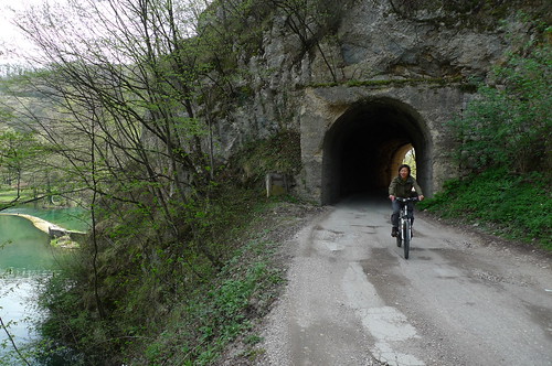
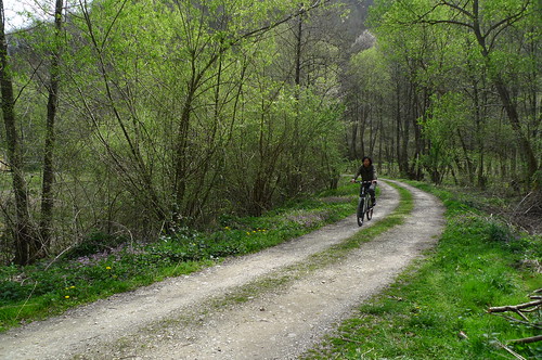
The first part of the bike ride out to the lakes was on a rail trail.
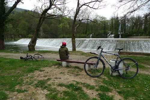
Waterfalls and old watermills. A main attraction.

And more man-made falls.
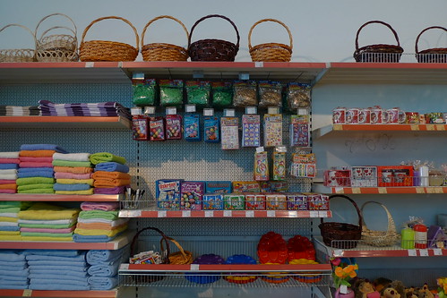
The Maxi Hipermart is ready for Easter.
One day we hiked east to the summit of Mount Hum (44.314689, 17.309184). The next day we cycled west to the lakes.
Just outside the scenic waters of Jajce there are several serious factories including this silicon producing plant owned by BSI.

Some views of the in town waterfall.


More smaller man-made falls above the main falls.

Inside the Old Town and it's Fortress/Castle.


Sun-Ling loves to walk fortified city walls and Jajce's did not disappoint.


Looking east from the City Wall.

The walk east to HUM (pronounced whom) mountain.

Sometimes roadside trash dumps give the best views.

Idyllic mountain village with fenced lanes, flowering orchards, spiffy barns, and sheep.


But just above the idyllic village, as the trail gets steeper and steeper, there is evidence of the recent war; that is, signs warning of landmines.

Mine! No Passing! Which means "stay on the trail". Following the blazes takes on a whole new meaning! We saw about 20 or 30 of these warning signs, most near the ridgetop.


We did manage to stay on the trail and were rewarded with some great views.

The Summit at 1162 meters elevation.

More Spring flowers appeared each minute it seemed.


The first part of the bike ride out to the lakes was on a rail trail.


Waterfalls and old watermills. A main attraction.

And more man-made falls.

The Maxi Hipermart is ready for Easter.


4 comments:
Glad you managed not to blow yourselves up! That looked a little close for comfort.
Love the in town waterfall!
I can't find the old watermills on GM sat, too many buildings have the same roofline. Have geocode in that photo? Other than that, GM sat is fairly clear, can see town central waterfall and five man made dams above it.
@Kathy - The in town waterfall was amazing. Of course the locals walk right by it without a glance; or they may happen to notice that we are staring at something and look over and think: Oh yeah. The tourists are looking at the waterfall... ;-)
@Ed, Those mills are very hard to spot if you don't already know where they are. I could not find them myself on GM even though they are marked on every map in town until we returned from the hike. Try (44.347169, 17.226284).
Post a Comment